Transport Functions
Port
Hub Profile
Region
Thessaly
Time zone
Europe/Athens
Elevation
1 m
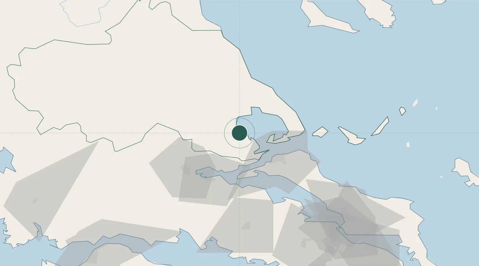
Location
Nearby Logistics Neighbours
Cities
- 1Amaliápolis3 km
- 2Pteleos19 km
- 3Agia Kyriaki (Trikeri Magnisia)21 km
- 4Trikeri Island21 km
- 5Akhillion21 km
Airports
- 1Nea Anchialos National Airport8 km
- 2Skiathos Island National Airport56 km
- 3Tanagra Air Base111 km
- 4Elefsis Air Base137 km
- 5Skiros Airport143 km
Trade Zones
- 1Free Zone of Piraeus151 km
- 2Free Zone of Thessaloniki163 km
- 3Free Zone of Platigiali (Astakos Etoloakarnanias)170 km
- 4TIDZ Gevgelija228 km
- 5Korçë Freezone240 km
DatabookThe Record of Consolidated Knowledge
Greece beyond logistics?