UN/LOCODE hub · Greece
GRAGA

Agriá

39.3333°, 23.0000°
5,519
Population
3
Transport functions

Transport Functions

Port
Rail
Road
UN/LOCODE

Hub Profile

Place type
Populated place
GeoNames
Region
Thessaly
GeoNames
Population
5,519
GeoNames
Time zone
Europe/Athens
GeoNames
Elevation
1 m
GeoNames

Location

Location of GRAGA
Natural Earth 10m (public domain) · Thessaly · GRAGA · 39.33, 23.00GoogleOSMYandex

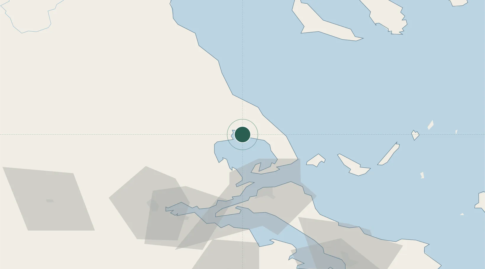
Nearby Logistics Neighbours

Cities
  1. 1Vólos6 km
  2. 2Amaliápolis21 km
  3. 3Tsingéli23 km
  4. 4Agia Kyriaki (Trikeri Magnisia)28 km
  5. 5Trikeri Island28 km
Nearest neighbours — logibook spatial index (haversine) over the source coordinates
Ports
  1. 1Volos6 km
  2. 2Tsingeli23 km
  3. 3Achladi51 km
  4. 4Kymassi69 km
  5. 5Yerakini111 km
Nearest neighbours — logibook spatial index (haversine) over the source coordinates
Airports
  1. 1Nea Anchialos National Airport22 km
  2. 2Skiathos Island National Airport47 km
  3. 3Tanagra Air Base121 km
  4. 4Thessaloniki Macedonia International Airport132 km
  5. 5Skiros Airport135 km
Nearest neighbours — logibook spatial index (haversine) over the source coordinates
Trade Zones
  1. 1Free Zone of Thessaloniki145 km
  2. 2Free Zone of Piraeus163 km
  3. 3Free Zone of Platigiali (Astakos Etoloakarnanias)190 km
  4. 4TIDZ Gevgelija212 km
  5. 5TIDZ Strumica230 km
Nearest neighbours — logibook spatial index (haversine) over the source coordinates
DatabookThe Record of Consolidated Knowledge
Greece beyond logistics?
Browse databook

All Sources

LocationsUN/LOCODE
UN/LOCODE — free
LocationsGeoNames
CC BY 4.0
Portsthe NGA World Port Index
Public domain (US gov)
AirportsOurAirports
Public domain
Trade Zonesthe World Bank SEZ database
CC BY 4.0
Trade ZonesOpen Zone Map
CC BY
← Greece locations