UN/LOCODE hub · Greece
GRAPL

Amaliápolis

39.1667°, 22.8833°
879
Population
2
Transport functions

Transport Functions

Port
Road
UN/LOCODE

Hub Profile

Place type
Populated place
GeoNames
Region
Thessaly
GeoNames
Population
879
GeoNames
Time zone
Europe/Athens
GeoNames
Elevation
19 m
GeoNames

Location

Location of GRAPL
Natural Earth 10m (public domain) · Thessaly · GRAPL · 39.17, 22.88GoogleOSMYandex

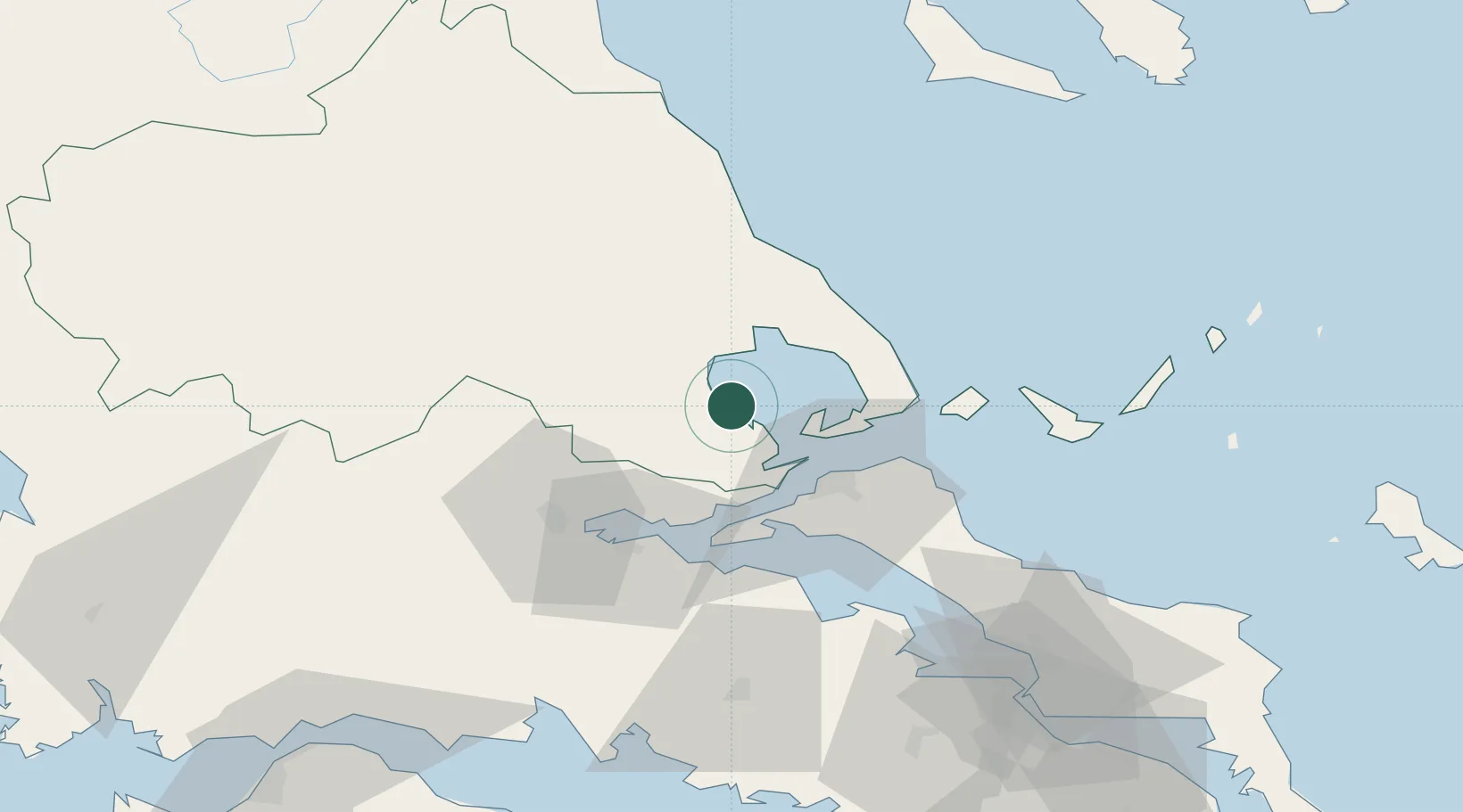
Nearby Logistics Neighbours

Cities
  1. 1Tsingéli3 km
  2. 2Pteleos17 km
  3. 3Agia Kyriaki (Trikeri Magnisia)18 km
  4. 4Trikeri Island18 km
  5. 5Akhillion20 km
Nearest neighbours — logibook spatial index (haversine) over the source coordinates
Ports
  1. 1Tsingeli3 km
  2. 2Volos23 km
  3. 3Achladi30 km
  4. 4Kymassi63 km
  5. 5Itea91 km
Nearest neighbours — logibook spatial index (haversine) over the source coordinates
Airports
  1. 1Nea Anchialos National Airport10 km
  2. 2Skiathos Island National Airport54 km
  3. 3Tanagra Air Base109 km
  4. 4Elefsis Air Base136 km
  5. 5Skiros Airport140 km
Nearest neighbours — logibook spatial index (haversine) over the source coordinates
Trade Zones
  1. 1Free Zone of Piraeus150 km
  2. 2Free Zone of Thessaloniki163 km
  3. 3Free Zone of Platigiali (Astakos Etoloakarnanias)172 km
  4. 4TIDZ Gevgelija228 km
  5. 5Korçë Freezone242 km
Nearest neighbours — logibook spatial index (haversine) over the source coordinates
DatabookThe Record of Consolidated Knowledge
Greece beyond logistics?
Browse databook

All Sources

LocationsUN/LOCODE
UN/LOCODE — free
LocationsGeoNames
CC BY 4.0
Portsthe NGA World Port Index
Public domain (US gov)
AirportsOurAirports
Public domain
Trade Zonesthe World Bank SEZ database
CC BY 4.0
Trade ZonesOpen Zone Map
CC BY
← Greece locations