UN/LOCODE hub · Greece
GRVOL
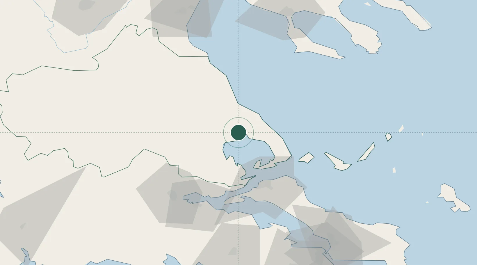
Vólos
39.3633°, 22.9423°
86,048
Population
2
Transport functions
1
Container terminals
Transport Functions
Port
Airport
Hub Profile
Place type
Provincial seat
Region
Thessaly
Population
86,048
Time zone
Europe/Athens
Elevation
52 m
Logistics facilities
5
Container terminals
1
Location
Nearby Logistics Neighbours
Cities
- 1Agriá6 km
- 2Amaliápolis22 km
- 3Tsingéli23 km
- 4Agia Kyriaki (Trikeri Magnisia)33 km
- 5Trikeri Island33 km
Airports
Trade Zones
- 1Free Zone of Thessaloniki142 km
- 2Free Zone of Piraeus168 km
- 3Free Zone of Platigiali (Astakos Etoloakarnanias)187 km
- 4TIDZ Gevgelija207 km
- 5TIDZ Strumica226 km
DatabookThe Record of Consolidated Knowledge
Greece beyond logistics?