Transport Functions
Rail
Road
Hub Profile
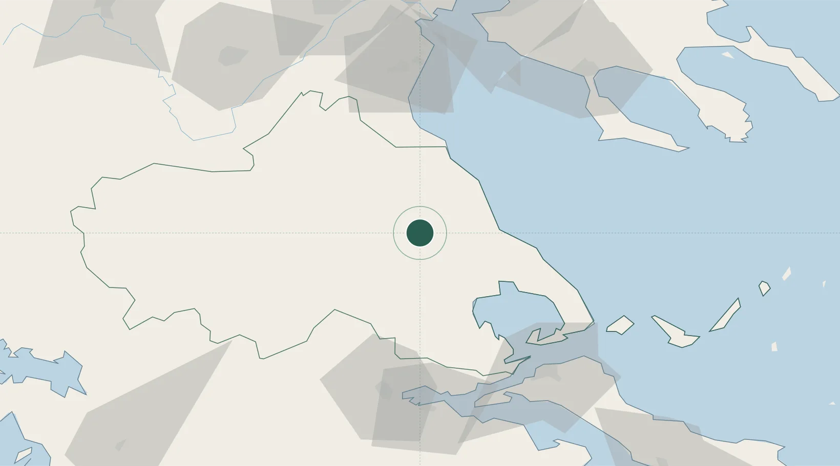
Place type
Populated place
Region
Thessaly
Time zone
Europe/Athens
Elevation
61 m
Location
Nearby Logistics Neighbours
Cities
- 1Agiokampos Larissas28 km
- 2Vólos37 km
- 3Agriá43 km
- 4Tsingéli49 km
- 5Amaliápolis51 km
Airports
Trade Zones
- 1Free Zone of Thessaloniki122 km
- 2Free Zone of Platigiali (Astakos Etoloakarnanias)177 km
- 3TIDZ Gevgelija182 km
- 4Korçë Freezone194 km
- 5Free Zone of Piraeus200 km
DatabookThe Record of Consolidated Knowledge
Greece beyond logistics?