UN/LOCODE hub · Guadeloupe
GPPBG
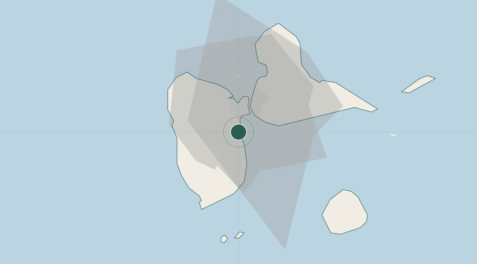
Petit-Bourg
16.1833°, -61.5833°
24,994
Population
2
Transport functions
Transport Functions
Port
Road
Hub Profile
Place type
Populated place
Region
Guadeloupe
Population
24,994
Time zone
America/Guadeloupe
Elevation
7 m
Location
Nearby Logistics Neighbours
Cities
- 1Jarry7 km
- 2Pointe-à-Pitre8 km
- 3Baie-Mahault9 km
- 4Le Gosier11 km
- 5Les Abymes14 km
Ports
- 1Pointe A Pitre8 km
- 2Basse Terre26 km
- 3Port Louis27 km
- 4Portsmouth70 km
- 5Roseau100 km
Airports
- 1Maryse Condé International Airport11 km
- 2Basse-Terre Baillif Airport25 km
- 3St-François Airport35 km
- 4Marie-Galante Airport48 km
- 5La Désirade Airport55 km