UN/LOCODE hub · Guadeloupe
GPBBR
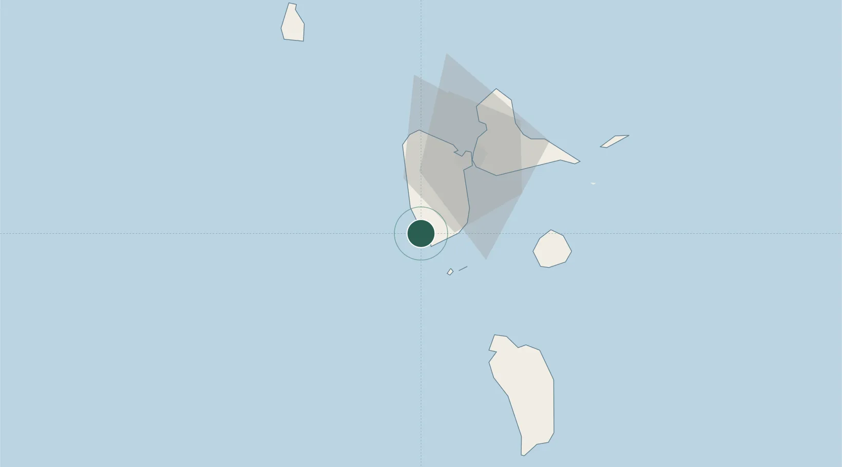
Basse-Terre
15.9955°, -61.7310°
11,472
Population
3
Transport functions
Transport Functions
Port
Airport
Postal
Hub Profile
Place type
National capital
Region
Guadeloupe
Population
11,472
Time zone
America/Guadeloupe
Elevation
11 m
Logistics facilities
1
Location
Nearby Logistics Neighbours
Cities
- 1Baillif4 km
- 2Trois-Rivières11 km
- 3Bouillante16 km
- 4Capesterre-Belle-Eau20 km
- 5Petit-Bourg26 km
Ports
- 1Pointe A Pitre34 km
- 2Port Louis51 km
- 3Portsmouth55 km
- 4Roseau85 km
- 5St Johns125 km
Airports