Transport Functions
Port
Road
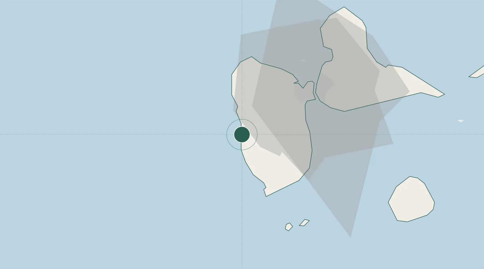
Location
Nearby Logistics Neighbours
Cities
- 1Pointe-Noire11 km
- 2Baillif12 km
- 3Basse-Terre16 km
- 4Deshaies19 km
- 5Petit-Bourg20 km
Ports
- 1Basse Terre15 km
- 2Pointe A Pitre27 km
- 3Port Louis40 km
- 4Portsmouth71 km
- 5Roseau101 km
Airports
- 1Basse-Terre Baillif Airport14 km
- 2Maryse Condé International Airport29 km
- 3St-François Airport56 km
- 4Marie-Galante Airport61 km
- 5La Désirade Airport75 km