Transport Functions
Port
Road
Hub Profile
Place type
Populated place
Region
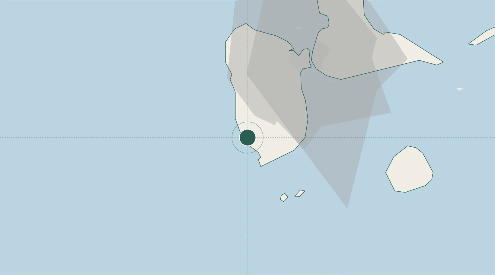
Guadeloupe
Population
5,705
Time zone
America/Guadeloupe
Elevation
12 m
Location
Nearby Logistics Neighbours
Cities
- 1Basse-Terre4 km
- 2Bouillante12 km
- 3Trois-Rivières13 km
- 4Capesterre-Belle-Eau20 km
- 5Pointe-Noire23 km
Ports
- 1Basse Terre4 km
- 2Pointe A Pitre31 km
- 3Port Louis48 km
- 4Portsmouth59 km
- 5Roseau89 km
Airports