Transport Functions
Port
Road
Hub Profile
Place type
Populated place
Region
Guadeloupe
Population
28,698
Time zone
America/Guadeloupe
Elevation
24 m
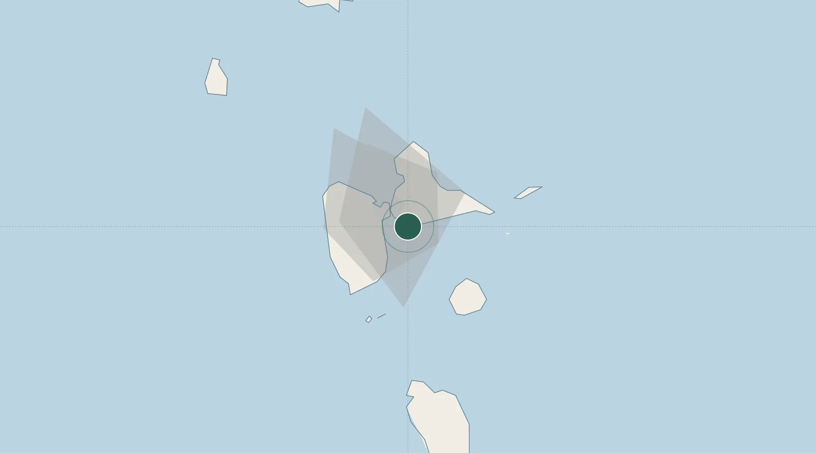
Location
Nearby Logistics Neighbours
Cities
- 1Pointe-à-Pitre7 km
- 2Jarry8 km
- 3Les Abymes9 km
- 4Petit-Bourg11 km
- 5Baie-Mahault13 km
Ports
- 1Pointe A Pitre7 km
- 2Port Louis25 km
- 3Basse Terre35 km
- 4Portsmouth70 km
- 5Roseau101 km
Airports