Transport Functions
Port
Road
Hub Profile
Place type
Populated place
Region
Guadeloupe
Population
3,792
Time zone
America/Guadeloupe
Elevation
9 m
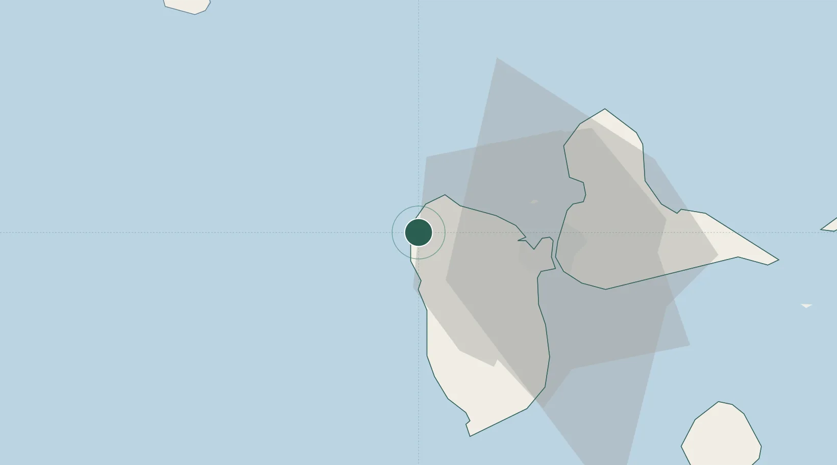
Location
Nearby Logistics Neighbours
Cities
- 1Pointe-Noire7 km
- 2Bouillante19 km
- 3Baie-Mahault22 km
- 4Petit-Bourg25 km
- 5Jarry26 km
Ports
- 1Pointe A Pitre28 km
- 2Port Louis30 km
- 3Basse Terre34 km
- 4Portsmouth88 km
- 5St Johns91 km
Airports