UN/LOCODE hub · Guadeloupe
GPZAA
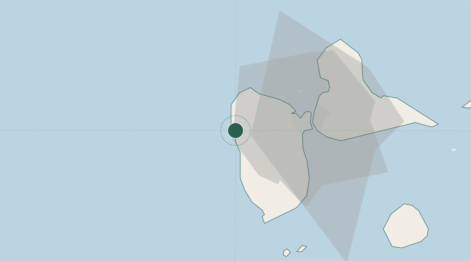
Pointe-Noire
16.2333°, -61.7833°
7,749
Population
2
Transport functions
Transport Functions
Road
Multimodal
Hub Profile
Place type
Populated place
Region
Guadeloupe
Population
7,749
Time zone
America/Guadeloupe
Elevation
9 m
Location
Nearby Logistics Neighbours
Cities
- 1Deshaies7 km
- 2Bouillante11 km
- 3Baie-Mahault22 km
- 4Petit-Bourg22 km
- 5Baillif23 km
Ports
- 1Basse Terre27 km
- 2Pointe A Pitre27 km
- 3Port Louis34 km
- 4Portsmouth82 km
- 5St Johns99 km
Airports
- 1Basse-Terre Baillif Airport25 km
- 2Maryse Condé International Airport27 km
- 3St-François Airport56 km
- 4Marie-Galante Airport68 km
- 5La Désirade Airport75 km