UN/LOCODE hub · Georgia
GEZAJ

Senaki

42.2667°, 42.0667°
14,991
Population
1
Transport functions

Transport Functions

Multimodal
UN/LOCODE

Hub Profile

Place type
Provincial seat
GeoNames
Region
Samegrelo and Zemo Svaneti
GeoNames
Population
14,991
GeoNames
Time zone
Asia/Tbilisi
GeoNames
Elevation
45 m
GeoNames

Location

Location of GEZAJ
Natural Earth 10m (public domain) · Samegrelo and Zemo Svaneti · GEZAJ · 42.27, 42.07GoogleOSMYandex

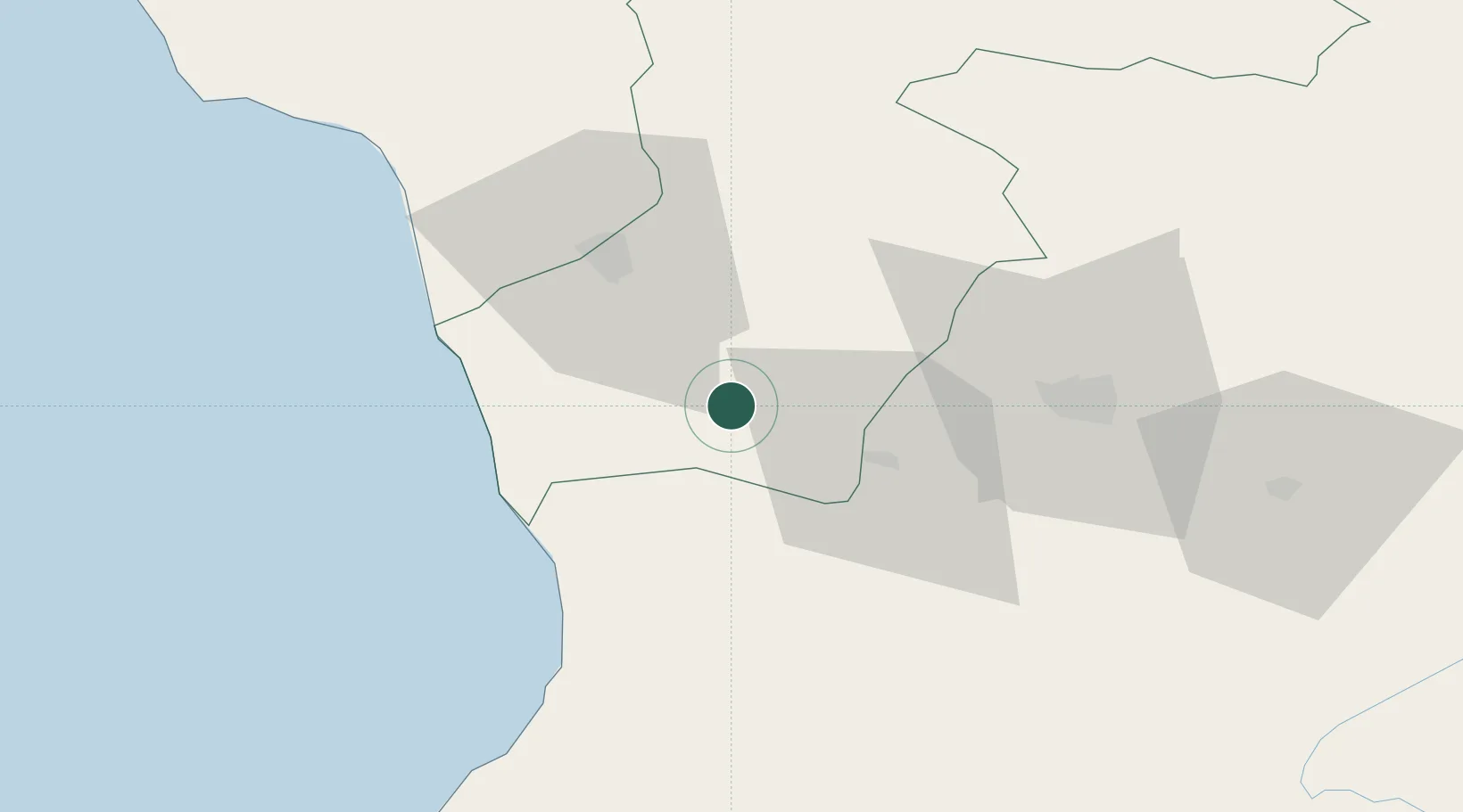
Nearby Logistics Neighbours

Cities
  1. 1Tsalenjikha0 km
  2. 2Samtredia26 km
  3. 3Zugdidi31 km
  4. 4Sup'sa34 km
  5. 5Poti35 km
Nearest neighbours — logibook spatial index (haversine) over the source coordinates
Ports
  1. 1Supsa Marine Terminal34 km
  2. 2Batumi77 km
  3. 3Hopa110 km
  4. 4Sokhumi119 km
  5. 5Rize185 km
Nearest neighbours — logibook spatial index (haversine) over the source coordinates
Airports
  1. 1Senaki Air Base3 km
  2. 2David the Builder Kutaisi International Airport36 km
  3. 3Ozurgeti Air Base41 km
  4. 4Alexander Kartveli Batumi International Airport83 km
  5. 5Ambrolauri Airport92 km
Nearest neighbours — logibook spatial index (haversine) over the source coordinates
Trade Zones
  1. 1Poti Free Industrial Zone35 km
  2. 2Kulevi Free Industrial Zone35 km
  3. 3Kutaisi Free Industrial Zone - Fresh Georgia, LLC.45 km
  4. 4Kutaisi Free Industrial Zone (Hualing)46 km
  5. 5Gyumri Eurasian Logistic Park223 km
Nearest neighbours — logibook spatial index (haversine) over the source coordinates
DatabookThe Record of Consolidated Knowledge
Georgia beyond logistics?
Browse databook

All Sources

LocationsUN/LOCODE
UN/LOCODE — free
LocationsGeoNames
CC BY 4.0
Portsthe NGA World Port Index
Public domain (US gov)
AirportsOurAirports
Public domain
Trade Zonesthe World Bank SEZ database
CC BY 4.0
Trade ZonesOpen Zone Map
CC BY
← Georgia locations