Medium airport · Georgia

Ambrolauri AirportUGAM
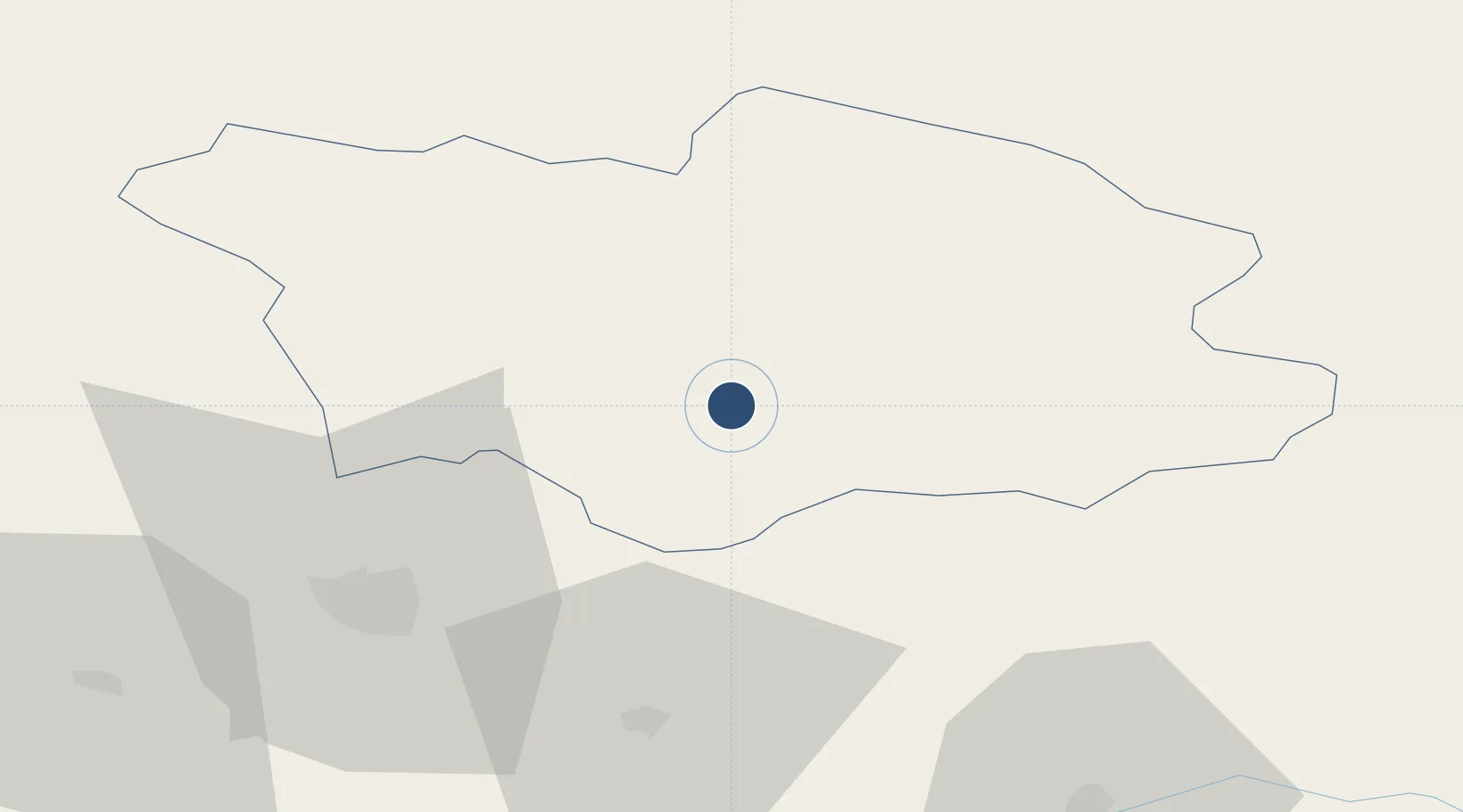
42.5269°, 43.1354°
3,609 ft
Longest runway
1
Runways
1,784 ft
Elevation

Runway & Layout

Ambrolauri Airport runway & taxiway layout
Runway & taxiway layout — OpenStreetMap (ODbL) / OurAirports

Runways · 1

RunwayDimensions SurfaceTrue headingLit
11/29 3,609 × 98ft CONC
OurAirports

Airport Specifications

ICAO code
UGAM
OurAirports
Airport class
Medium airport
OurAirports
Scheduled service
Yes
OurAirports
Runway surface
CONC
OurAirports
Served city
Ambrolauri
OurAirports

Location

Location of UGAM
Natural Earth 10m (public domain) · Racha-Lechkhumi-Kvemo Svaneti · UGAM · 42.53, 43.14GoogleOSMYandex

Nearby Logistics Neighbours

Airports
  1. 1David the Builder Kutaisi International Airport66 km
  2. 2Mestia Queen Tamar Airport67 km
  3. 3Senaki Air Base95 km
  4. 4Nalchik Airport117 km
  5. 5Ozurgeti Air Base124 km
Nearest neighbours — logibook spatial index (haversine) over the source coordinates
Cities
  1. 1Chrebalo14 km
  2. 2Zestap'oni48 km
  3. 3Shorapani49 km
  4. 4Khashuri71 km
  5. 5Samtredia78 km
Nearest neighbours — logibook spatial index (haversine) over the source coordinates
Ports
  1. 1Supsa Marine Terminal126 km
  2. 2Batumi157 km
  3. 3Sokhumi183 km
  4. 4Hopa189 km
  5. 5Rize271 km
Nearest neighbours — logibook spatial index (haversine) over the source coordinates
Trade Zones
  1. 1Kutaisi Free Industrial Zone (Hualing)51 km
  2. 2Kutaisi Free Industrial Zone - Fresh Georgia, LLC.52 km
  3. 3Kulevi Free Industrial Zone126 km
  4. 4Poti Free Industrial Zone127 km
  5. 5Tbilisi Free Industrial Zone164 km
Nearest neighbours — logibook spatial index (haversine) over the source coordinates
DatabookThe Record of Consolidated Knowledge
Georgia beyond logistics?
Browse databook

All Sources

AirportsOurAirports
Public domain
Portsthe NGA World Port Index
Public domain (US gov)
LocationsUN/LOCODE
UN/LOCODE — free
Trade Zonesthe World Bank SEZ database
CC BY 4.0
Trade ZonesOpen Zone Map
CC BY
InfrastructureOpenStreetMap
ODbL 1.0
← Georgia airports