Transport Functions
Multimodal
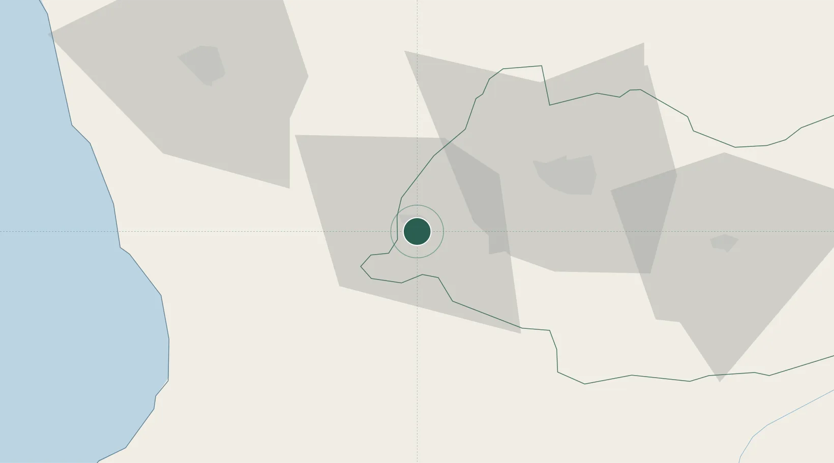
Hub Profile
Place type
Provincial seat
Region
Imereti
Population
20,633
Time zone
Asia/Tbilisi
Elevation
23 m
Location
Nearby Logistics Neighbours
Cities
- 1Tsalenjikha26 km
- 2Senaki26 km
- 3Sup'sa46 km
- 4Zugdidi55 km
- 5Poti55 km
Ports
- 1Supsa Marine Terminal51 km
- 2Batumi79 km
- 3Hopa112 km
- 4Sokhumi144 km
- 5Rize193 km
Airports
DatabookThe Record of Consolidated Knowledge
Georgia beyond logistics?