UN/LOCODE hub · United Kingdom
GBBPO
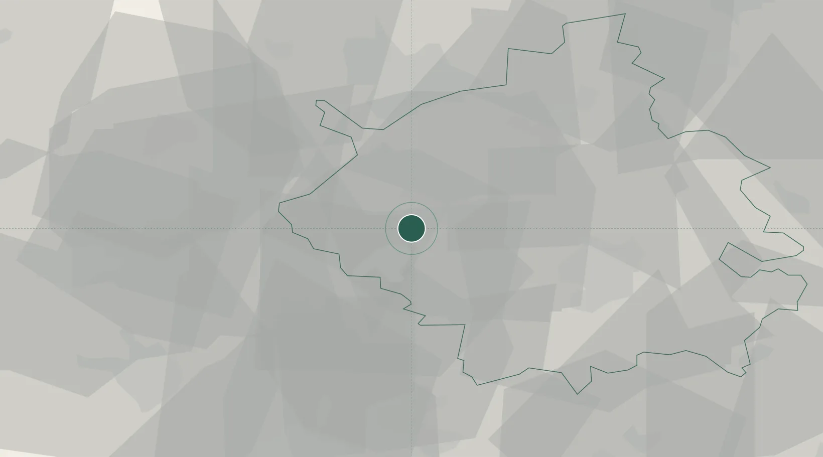
Brampton
52.3167°, -0.2333°
4,862
Population
2
Transport functions
Transport Functions
Road
Multimodal
Hub Profile
Place type
Populated place
Region
England
Population
4,862
Time zone
Europe/London
Elevation
14 m
Location
Nearby Logistics Neighbours
Cities
- 1Offord Cluny4 km
- 2Papworth Everard12 km
- 3Abbotsley15 km
- 4Moulton19 km
- 5Yaxley20 km
Ports
- 1Wisbech47 km
- 2King's Lynn65 km
- 3Boston74 km
- 4London91 km
- 5Colchester92 km
Airports
- 1Cambridge City Airport30 km
- 2RAF Wittering37 km
- 3Cranfield Airport38 km
- 4RAF Mildenhall49 km
- 5London Luton Airport50 km
DatabookThe Record of Consolidated Knowledge
United Kingdom beyond logistics?