UN/LOCODE hub · United Kingdom
GBZCR
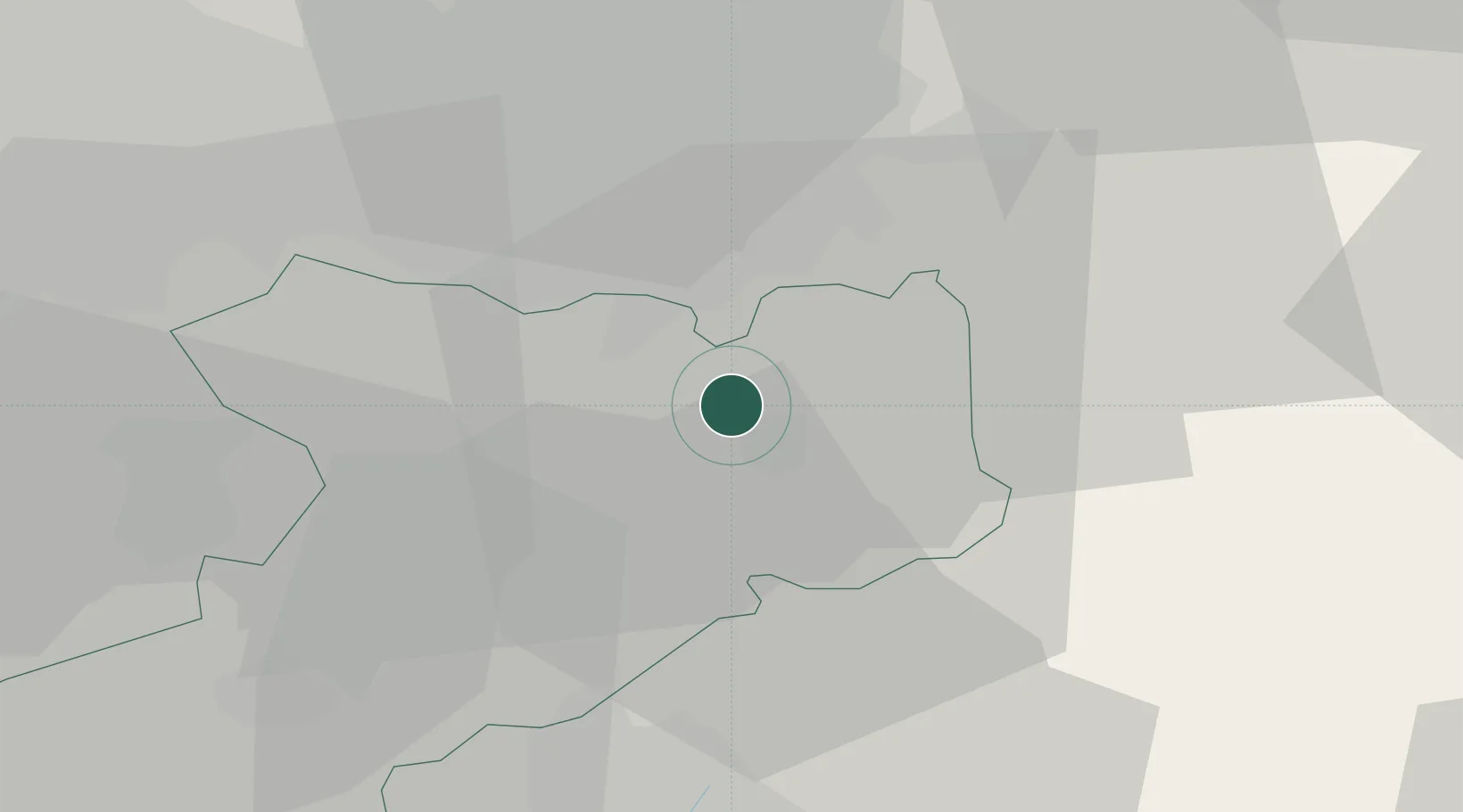
Prestbury
53.2833°, -2.1500°
3,342
Population
1
Transport functions
Transport Functions
Multimodal
Hub Profile
Place type
District seat
Region
England
Population
3,342
Time zone
Europe/London
Elevation
136 m
Location
Nearby Logistics Neighbours
Cities
- 1Pott Shrigley6 km
- 2Handforth9 km
- 3Bramhall9 km
- 4Cheadle Hulme10 km
- 5Stockport13 km
Ports
- 1Manchester24 km
- 2Garlston50 km
- 3Liverpool58 km
- 4Mostyn74 km
- 5Fleetwood91 km
Airports
- 1Manchester Airport11 km
- 2Liverpool John Lennon Airport47 km
- 3Hawarden Airport56 km
- 4RAF Shawbury64 km
- 5Warton Aerodrome71 km
DatabookThe Record of Consolidated Knowledge
United Kingdom beyond logistics?