UN/LOCODE hub · United Kingdom
GBCDH
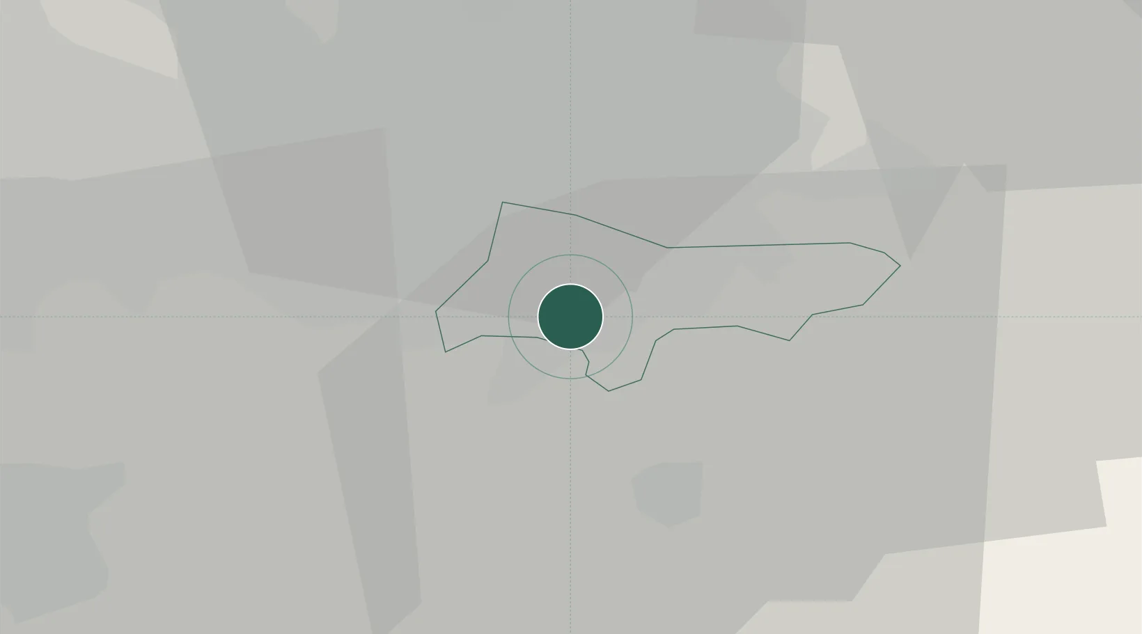
Cheadle Hulme
53.3667°, -2.1833°
28,952
Population
2
Transport functions
Transport Functions
Rail
Road
Hub Profile
Place type
Populated place
Region
England
Population
28,952
Time zone
Europe/London
Elevation
68 m
Location
Nearby Logistics Neighbours
Cities
- 1Bramhall1 km
- 2Handforth3 km
- 3Great Longstone4 km
- 4Stockport4 km
- 5Reddish8 km
Ports
- 1Manchester14 km
- 2Garlston48 km
- 3Liverpool54 km
- 4Mostyn72 km
- 5Fleetwood82 km
Airports
- 1Manchester Airport7 km
- 2Liverpool John Lennon Airport44 km
- 3Hawarden Airport57 km
- 4Warton Aerodrome63 km
- 5Leeds Bradford Airport65 km
Trade Zones
DatabookThe Record of Consolidated Knowledge
United Kingdom beyond logistics?