Transport Functions
Road
Multimodal
Hub Profile
Place type
Populated place
Region
England
Time zone
Europe/London
Elevation
84 m
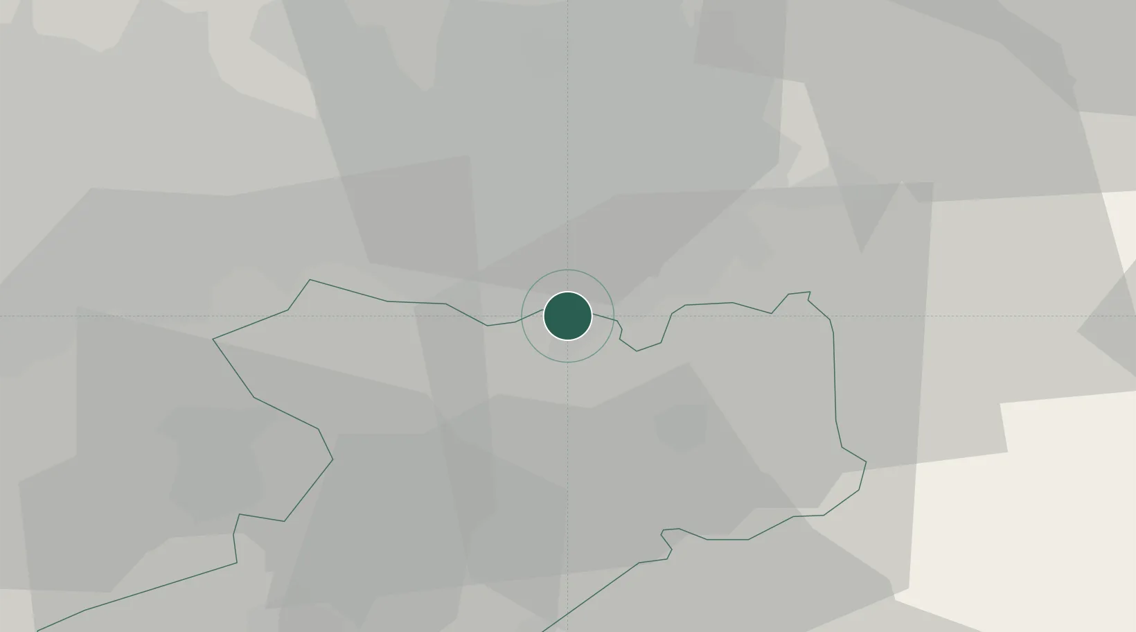
Location
Nearby Logistics Neighbours
Cities
- 1Cheadle Hulme3 km
- 2Bramhall4 km
- 3Great Longstone7 km
- 4Stockport7 km
- 5Prestbury9 km
Ports
- 1Manchester15 km
- 2Garlston45 km
- 3Liverpool53 km
- 4Mostyn70 km
- 5Fleetwood82 km
Airports
- 1Manchester Airport4 km
- 2Liverpool John Lennon Airport42 km
- 3Hawarden Airport54 km
- 4Warton Aerodrome62 km
- 5Leeds Bradford Airport68 km
Trade Zones
DatabookThe Record of Consolidated Knowledge
United Kingdom beyond logistics?