UN/LOCODE hub · United Kingdom
GBBRS
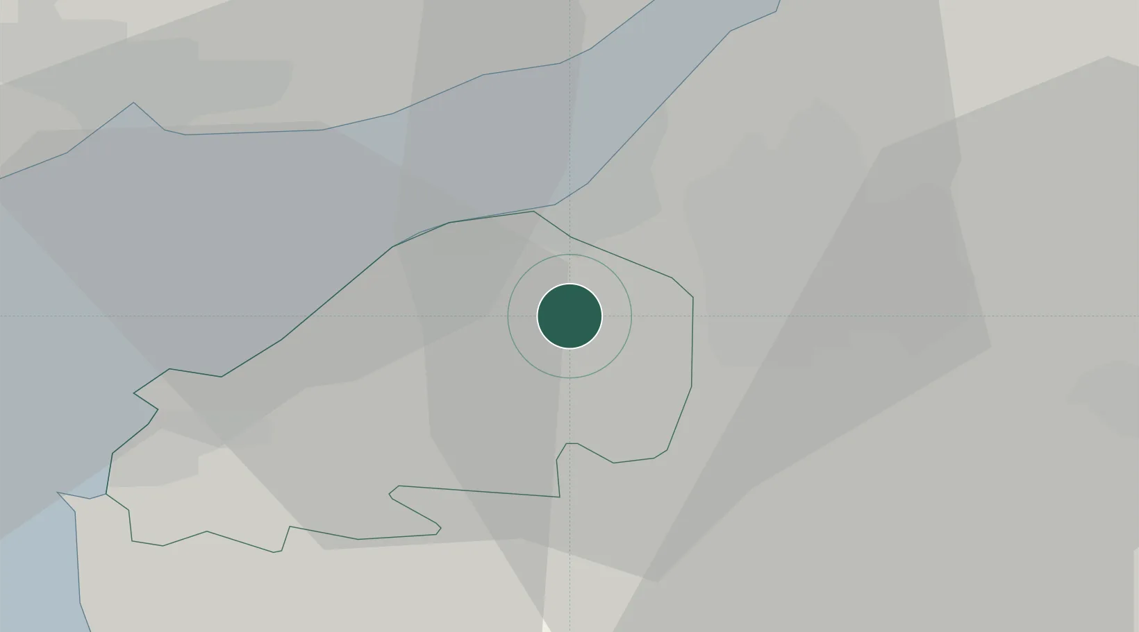
Bristol
51.4314°, -2.7069°
479,024
Population
4
Transport functions
Transport Functions
Port
Rail
Road
Airport
Hub Profile
Place type
Provincial seat
Region
England
Population
479,024
Time zone
Europe/London
Elevation
21 m
Logistics facilities
4
Location
Nearby Logistics Neighbours
Cities
- 1Redcliff Bay7 km
- 2Portbury7 km
- 3Portishead7 km
- 4Avonmouth9 km
- 5Clevedon9 km
Airports
- 1Bristol Airport6 km
- 2Cardiff International Airport44 km
- 3RNAS Yeovilton47 km
- 4MOD St Athan51 km
- 5Gloucestershire Airport64 km
Trade Zones
DatabookThe Record of Consolidated Knowledge
United Kingdom beyond logistics?