Transport Functions
Road
Multimodal
Hub Profile
Place type
Populated place
Region
England
Population
4,322
Time zone
Europe/London
Elevation
41 m
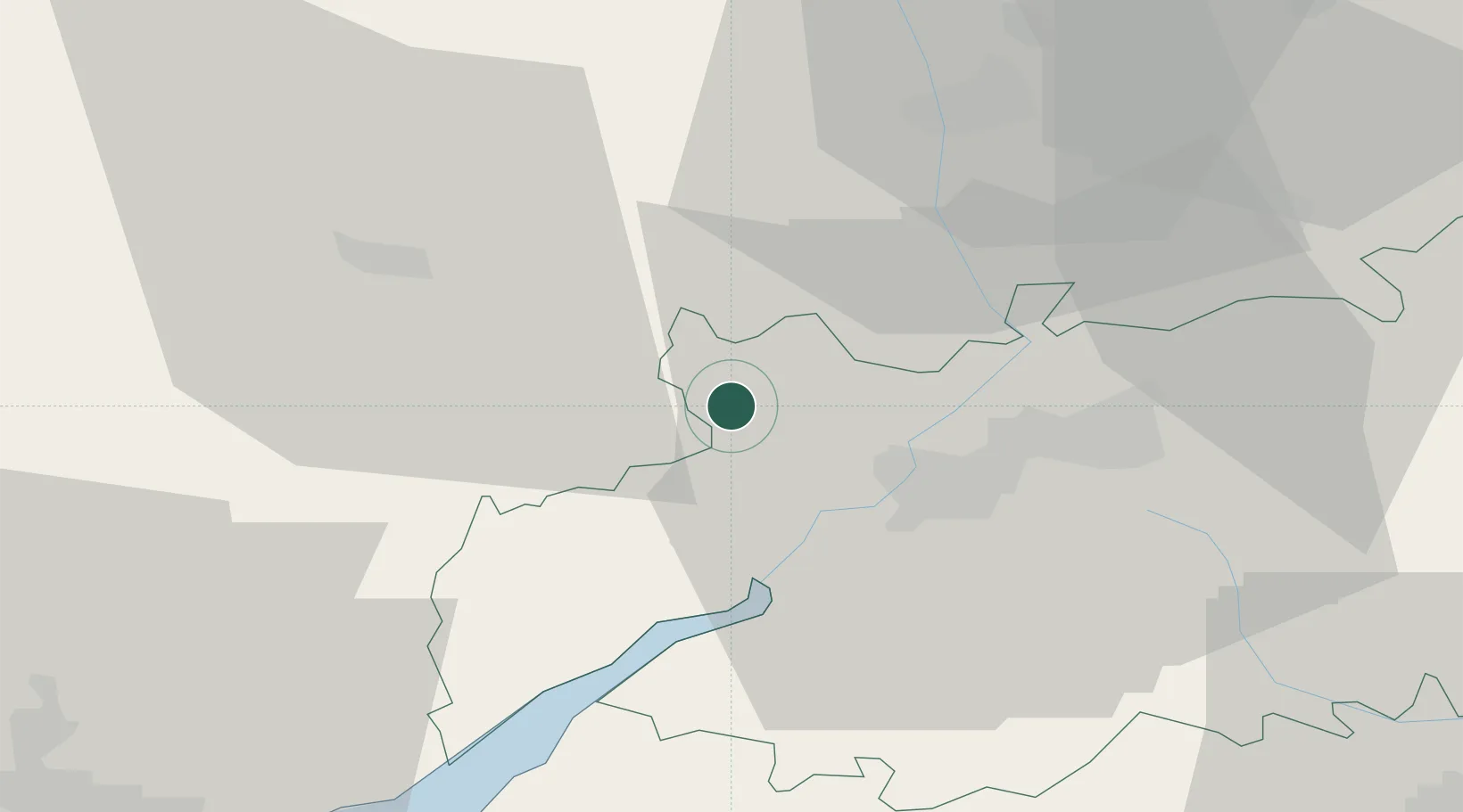
Location
Nearby Logistics Neighbours
Cities
- 1Ruardean12 km
- 2Westbury on Severn13 km
- 3Quedgeley16 km
- 4Staverton17 km
- 5Llangarron18 km
Airports
- 1Gloucestershire Airport18 km
- 2RAF Fairford51 km
- 3RAF Brize Norton61 km
- 4Bristol Airport65 km
- 5Birmingham Airport74 km
Trade Zones
DatabookThe Record of Consolidated Knowledge
United Kingdom beyond logistics?