Transport Functions
Rail
Road
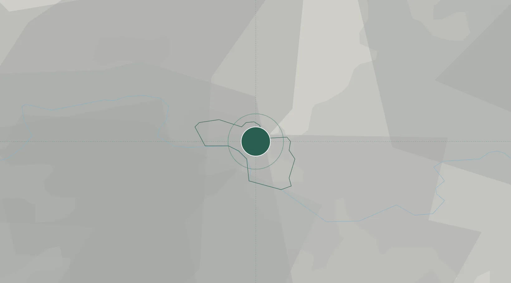
Hub Profile
Place type
Populated place
Region
England
Time zone
Europe/London
Elevation
96 m
Location
Nearby Logistics Neighbours
Cities
- 1Stoke Poges2 km
- 2Windsor5 km
- 3Hackney7 km
- 4Englefield Green7 km
- 5Uxbridge8 km
Ports
- 1London34 km
- 2Tilbury62 km
- 3Gravesend65 km
- 4Chatham Docks78 km
- 5Shoreham Harbour79 km
Airports
- 1London Heathrow Airport8 km
- 2RAF Northolt12 km
- 3Blackbushe Airport28 km
- 4Farnborough Airport29 km
- 5RAF Benson39 km
DatabookThe Record of Consolidated Knowledge
United Kingdom beyond logistics?