Transport Functions
Rail
Road
Hub Profile
Place type
Populated place
Region
England
Time zone
Europe/London
Elevation
66 m
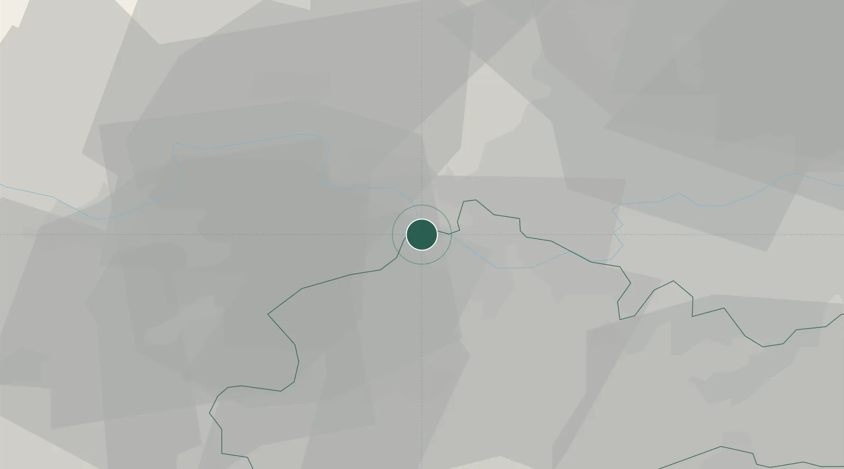
Location
Nearby Logistics Neighbours
Cities
- 1Thorpe4 km
- 2Windsor5 km
- 3Upton7 km
- 4Stoke Poges9 km
- 5Harlington11 km
Ports
- 1London34 km
- 2Tilbury63 km
- 3Gravesend65 km
- 4Shoreham Harbour72 km
- 5Littlehampton Harbour72 km
Airports
- 1London Heathrow Airport9 km
- 2RAF Northolt17 km
- 3Farnborough Airport23 km
- 4Blackbushe Airport23 km
- 5RAF Odiham34 km
DatabookThe Record of Consolidated Knowledge
United Kingdom beyond logistics?