Transport Functions
Rail
Road
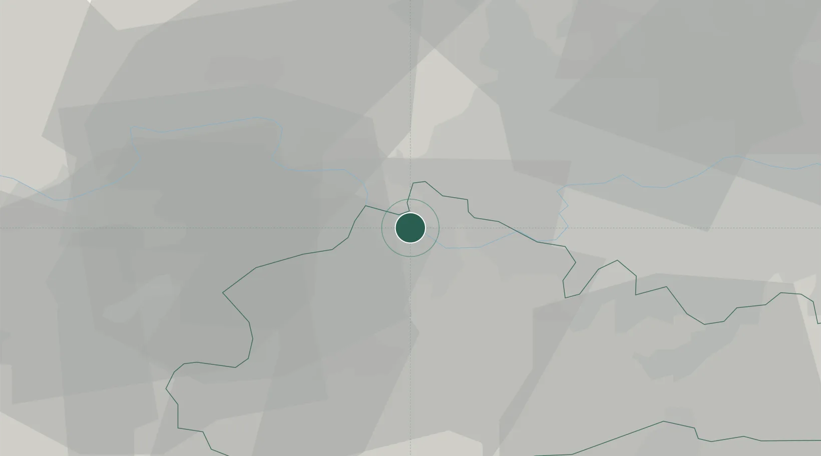
Hub Profile
Place type
Populated place
Region
England
Population
5,465
Time zone
Europe/London
Elevation
16 m
Location
Nearby Logistics Neighbours
Cities
- 1Englefield Green4 km
- 2Hanworth8 km
- 3Windsor9 km
- 4Harlington9 km
- 5Upton10 km
Ports
- 1London31 km
- 2Tilbury59 km
- 3Gravesend61 km
- 4Shoreham Harbour69 km
- 5Littlehampton Harbour70 km
Airports
- 1London Heathrow Airport7 km
- 2RAF Northolt17 km
- 3Farnborough Airport24 km
- 4Blackbushe Airport25 km
- 5RAF Odiham36 km
Trade Zones
DatabookThe Record of Consolidated Knowledge
United Kingdom beyond logistics?