UN/LOCODE hub · United Kingdom
GBSPG
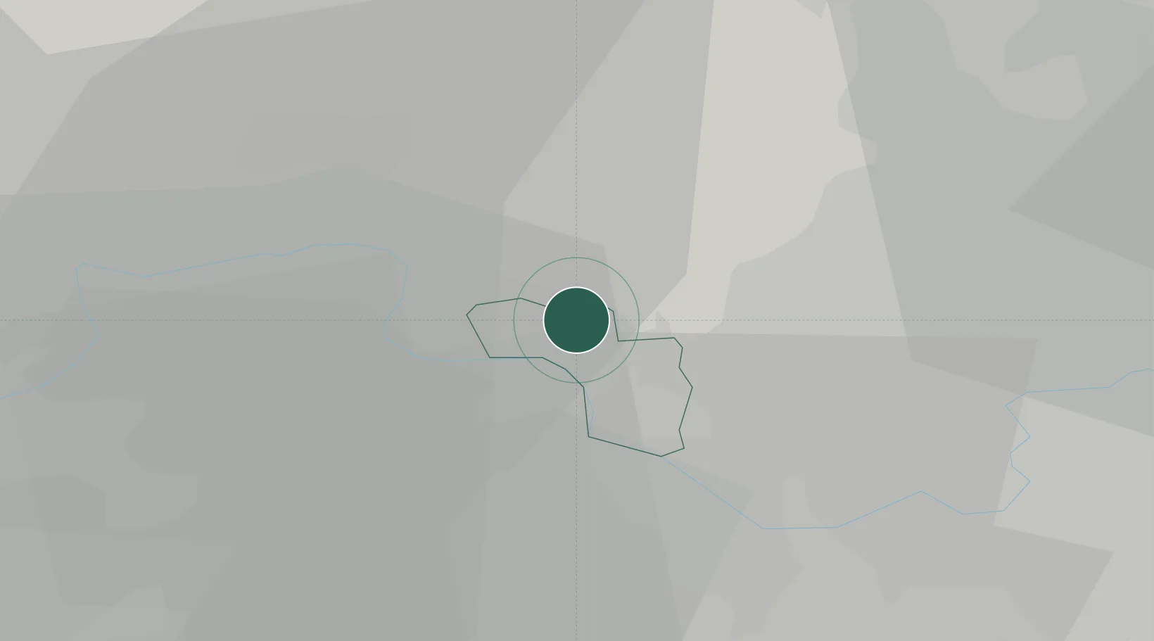
Stoke Poges
51.5167°, -0.5833°
4,204
Population
2
Transport functions
Transport Functions
Rail
Road
Hub Profile
Place type
Populated place
Region
England
Population
4,204
Time zone
Europe/London
Elevation
54 m
Location
Nearby Logistics Neighbours
Ports
- 1London35 km
- 2Tilbury64 km
- 3Gravesend66 km
- 4Chatham Docks80 km
- 5Shoreham Harbour81 km
Airports
- 1London Heathrow Airport10 km
- 2RAF Northolt12 km
- 3Blackbushe Airport28 km
- 4Farnborough Airport30 km
- 5RAF Benson37 km
DatabookThe Record of Consolidated Knowledge
United Kingdom beyond logistics?