Transport Functions
Port
Multimodal
Hub Profile
Place type
Populated place
Region
England
Time zone
Europe/London
Elevation
246 m
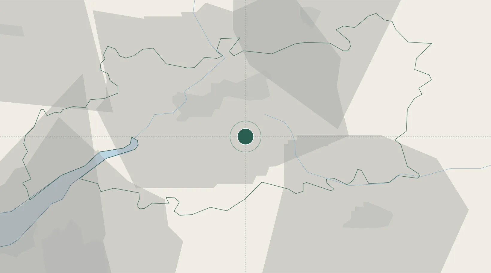
Location
Nearby Logistics Neighbours
Cities
- 1Woodchester12 km
- 2Quedgeley13 km
- 3Kemble14 km
- 4Staverton16 km
- 5Arlington19 km
Airports
- 1Gloucestershire Airport13 km
- 2RAF Fairford24 km
- 3RAF Brize Norton36 km
- 4London Oxford Airport54 km
- 5Bristol Airport62 km
Trade Zones
DatabookThe Record of Consolidated Knowledge
United Kingdom beyond logistics?