UN/LOCODE hub · United Kingdom
GBGUR
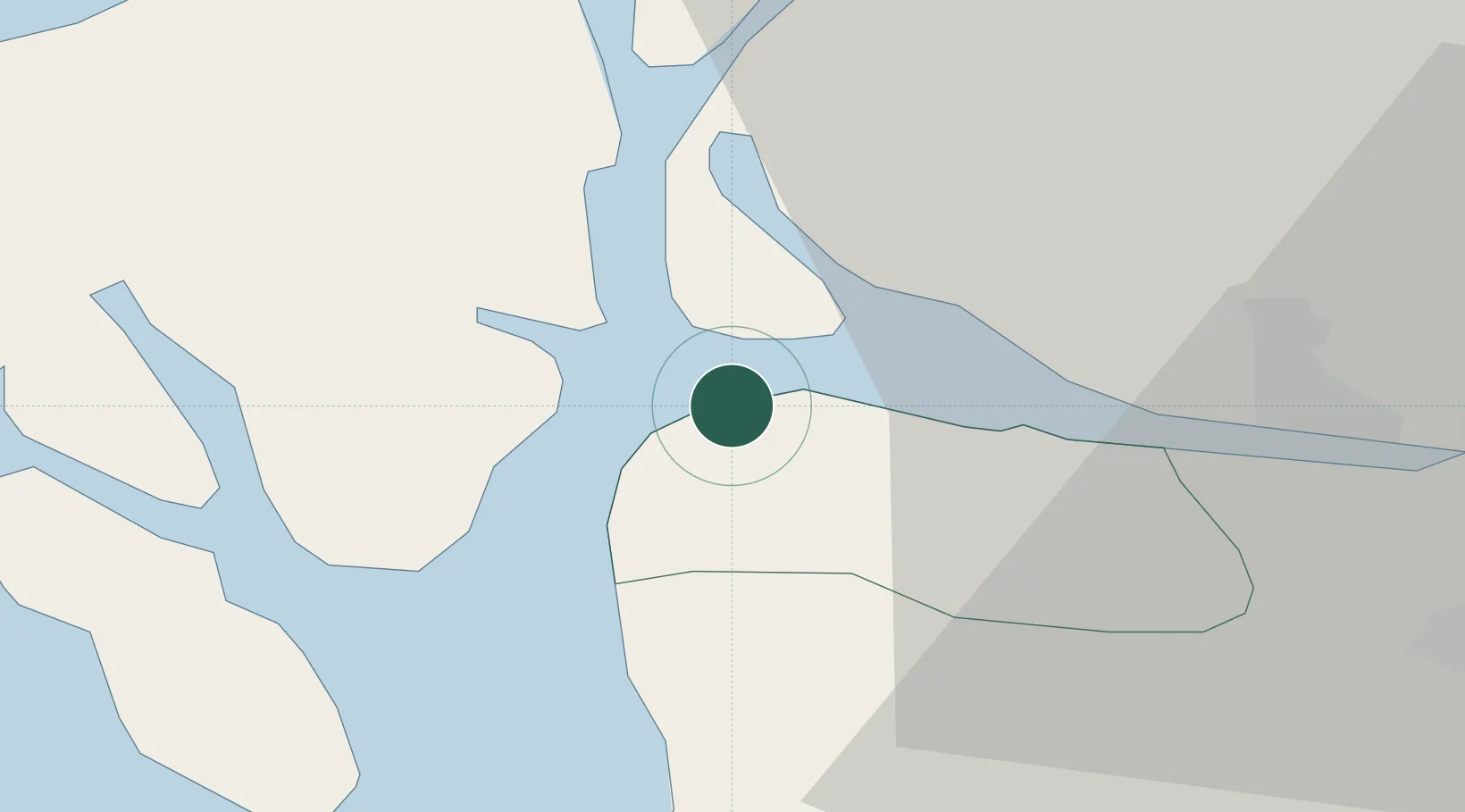
Gourock
55.9500°, -4.8333°
10,570
Population
1
Transport functions
Transport Functions
Port
Hub Profile
Place type
Populated place
Region
Scotland
Population
10,570
Time zone
Europe/London
Elevation
10 m
Location
Nearby Logistics Neighbours
Cities
- 1Kilcreggan4 km
- 2Blairmore6 km
- 3Inverkip6 km
- 4Holy Loch7 km
- 5Dunoon7 km
Ports
- 1Greenock5 km
- 2Faslane13 km
- 3Largs17 km
- 4Finnart Oil Terminal19 km
- 5Rothesay Harbor19 km
Airports
- 1Glasgow Airport26 km
- 2Glasgow Prestwick Airport52 km
- 3Oban Airport67 km
- 4Campbeltown Airport78 km
- 5Colonsay Airstrip89 km
Trade Zones
DatabookThe Record of Consolidated Knowledge
United Kingdom beyond logistics?