UN/LOCODE hub · United Kingdom
GBDNU

Dunoon

55.9500°, -4.9500°
8,160
Population
1
Transport functions

Transport Functions

Port
UN/LOCODE

Hub Profile

Place type
Populated place
GeoNames
Region
Scotland
GeoNames
Population
8,160
GeoNames
Time zone
Europe/London
GeoNames
Elevation
17 m
GeoNames

Location

Location of GBDNU
Natural Earth 10m (public domain) · Scotland · GBDNU · 55.95, -4.95GoogleOSMYandex

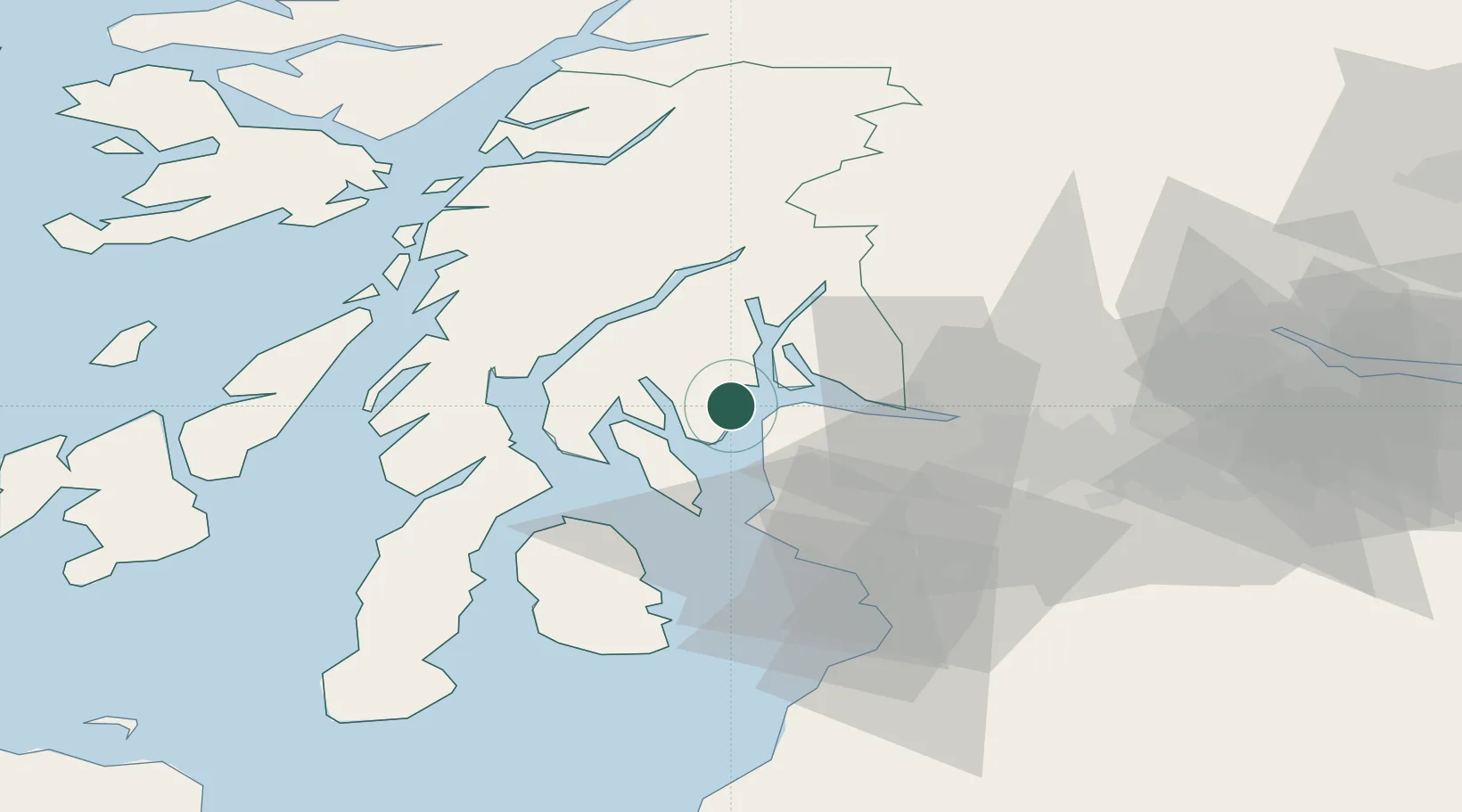
Nearby Logistics Neighbours

Cities
  1. 1Holy Loch4 km
  2. 2Blairmore5 km
  3. 3Kilcreggan7 km
  4. 4Gourock7 km
  5. 5Loch Striven8 km
Nearest neighbours — logibook spatial index (haversine) over the source coordinates
Ports
  1. 1Greenock13 km
  2. 2Rothesay Harbor14 km
  3. 3Faslane15 km
  4. 4Largs18 km
  5. 5Finnart Oil Terminal20 km
Nearest neighbours — logibook spatial index (haversine) over the source coordinates
Airports
  1. 1Glasgow Airport33 km
  2. 2Glasgow Prestwick Airport55 km
  3. 3Oban Airport64 km
  4. 4Campbeltown Airport73 km
  5. 5Colonsay Airstrip81 km
Nearest neighbours — logibook spatial index (haversine) over the source coordinates
Trade Zones
  1. 1Prestwick Airport Free Zone53 km
  2. 2Carlisle Kingmoor Park Enterprise Zone169 km
  3. 3Isle of Man Free Zone and Business Park208 km
  4. 4Blackpool Enterprise Zone271 km
  5. 5Hillhouse Enterprise Zone273 km
Nearest neighbours — logibook spatial index (haversine) over the source coordinates
DatabookThe Record of Consolidated Knowledge
United Kingdom beyond logistics?
Browse databook

All Sources

LocationsUN/LOCODE
UN/LOCODE — free
LocationsGeoNames
CC BY 4.0
Portsthe NGA World Port Index
Public domain (US gov)
AirportsOurAirports
Public domain
Trade Zonesthe World Bank SEZ database
CC BY 4.0
Trade ZonesOpen Zone Map
CC BY
← United Kingdom locations