UN/LOCODE hub · United Kingdom
GBHTA
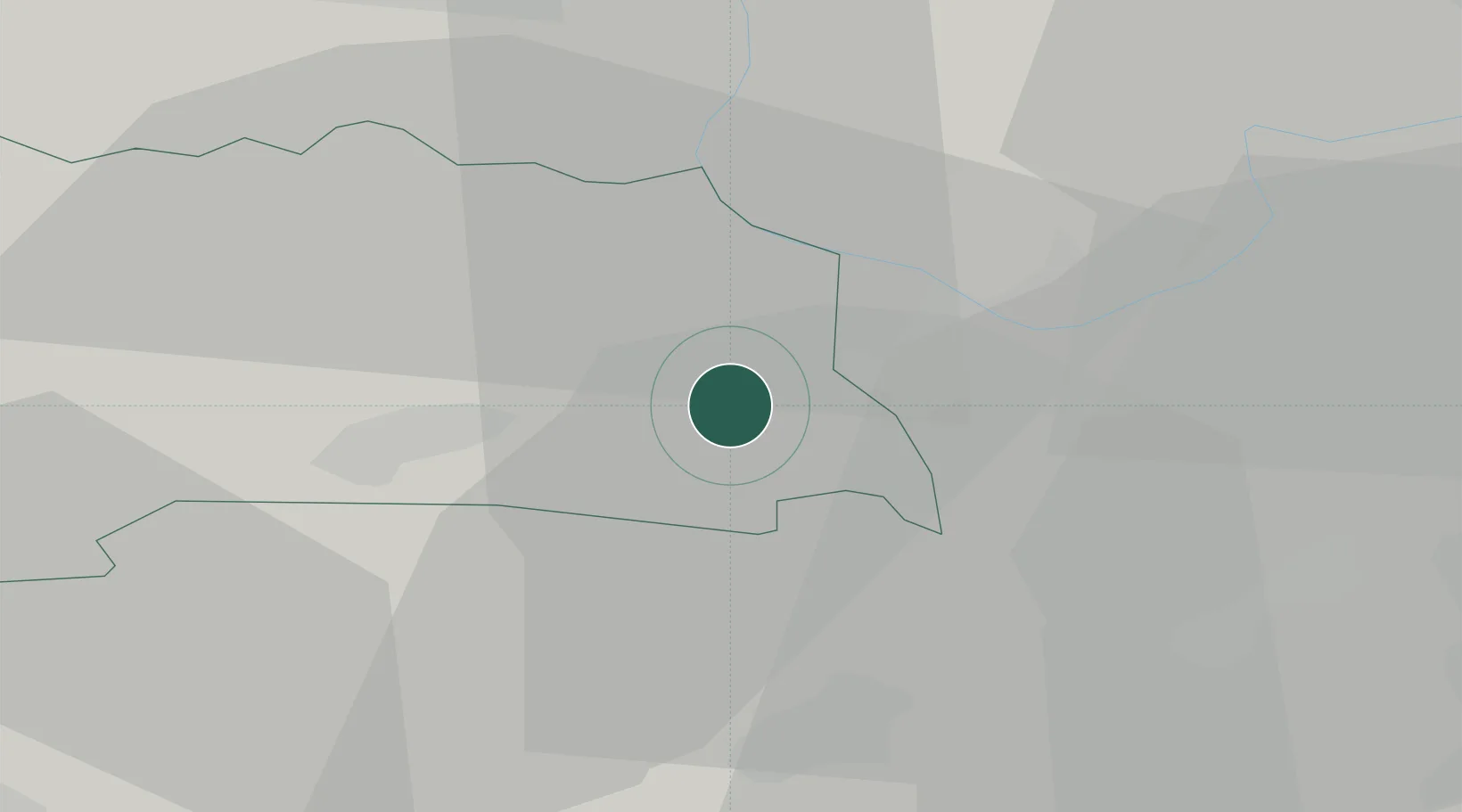
Streatham
51.4167°, -1.1333°
58,055
Population
1
Transport functions
Transport Functions
Port
Hub Profile
Place type
Populated place
Region
England
Population
58,055
Time zone
Europe/London
Elevation
54 m
Location
Nearby Logistics Neighbours
Ports
- 1Southampton60 km
- 2Fawley Marine Terminal68 km
- 3Portsmouth Harbour69 km
- 4Cowes Harbour73 km
- 5London73 km
Airports
- 1RAF Benson22 km
- 2Blackbushe Airport22 km
- 3RAF Odiham24 km
- 4Lasham Airfield27 km
- 5Farnborough Airport29 km
Trade Zones
DatabookThe Record of Consolidated Knowledge
United Kingdom beyond logistics?