Transport Functions
Port
Hub Profile
Place type
Populated place
Region
England
Time zone
Europe/London
Elevation
79 m
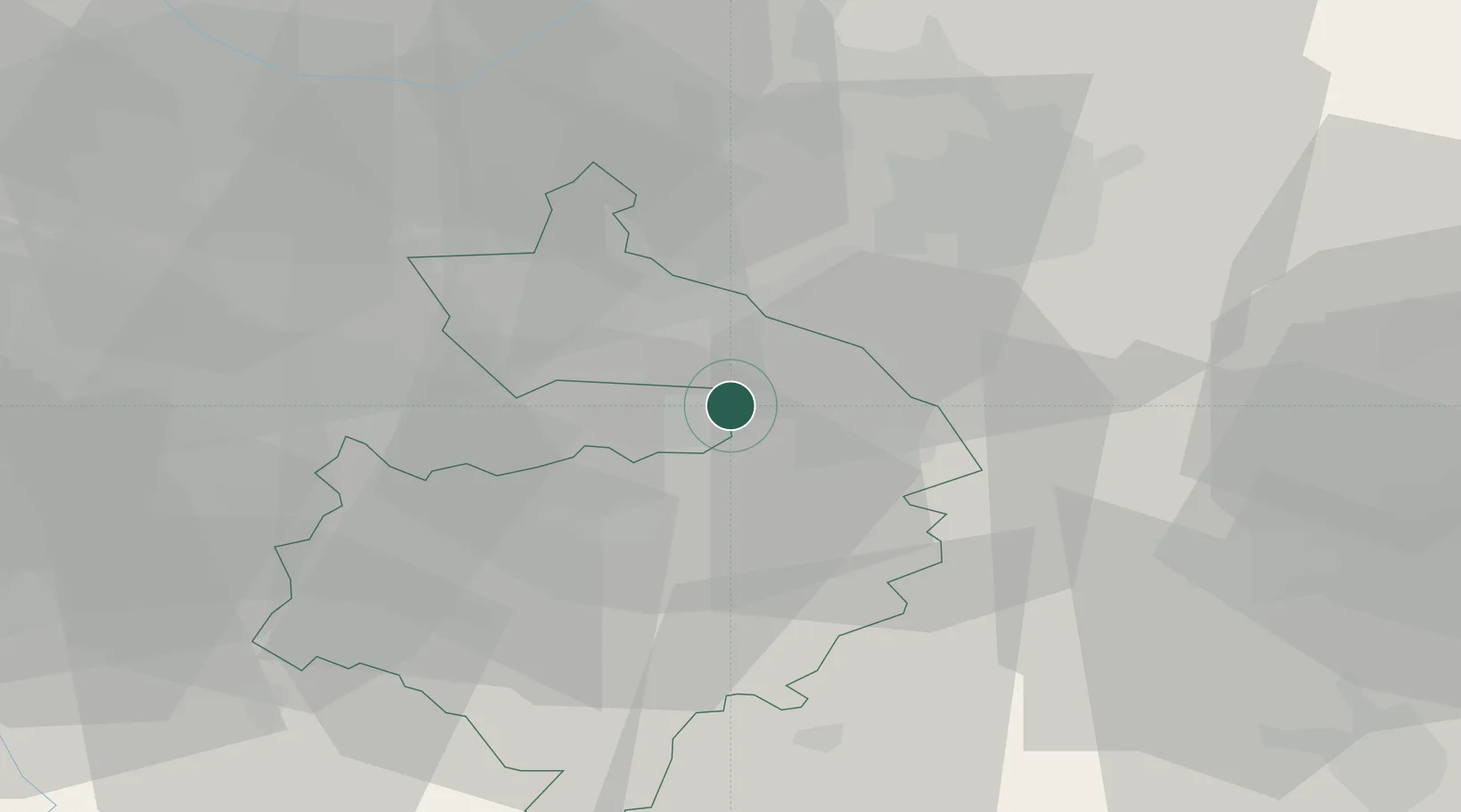
Location
Nearby Logistics Neighbours
Cities
- 1Barnacle6 km
- 2Coventry8 km
- 3Church Lawford10 km
- 4Dunchurch14 km
- 5Leamington15 km
Ports
- 1Sharpness106 km
- 2Wisbech111 km
- 3Boston113 km
- 4King's Lynn129 km
- 5Manchester131 km
Airports
- 1Coventry Airport6 km
- 2Birmingham Airport22 km
- 3East Midlands Airport47 km
- 4Nottingham City Airport61 km
- 5RAF Cosford64 km
Trade Zones
DatabookThe Record of Consolidated Knowledge
United Kingdom beyond logistics?