Transport Functions
Multimodal
Hub Profile
Region
WAR
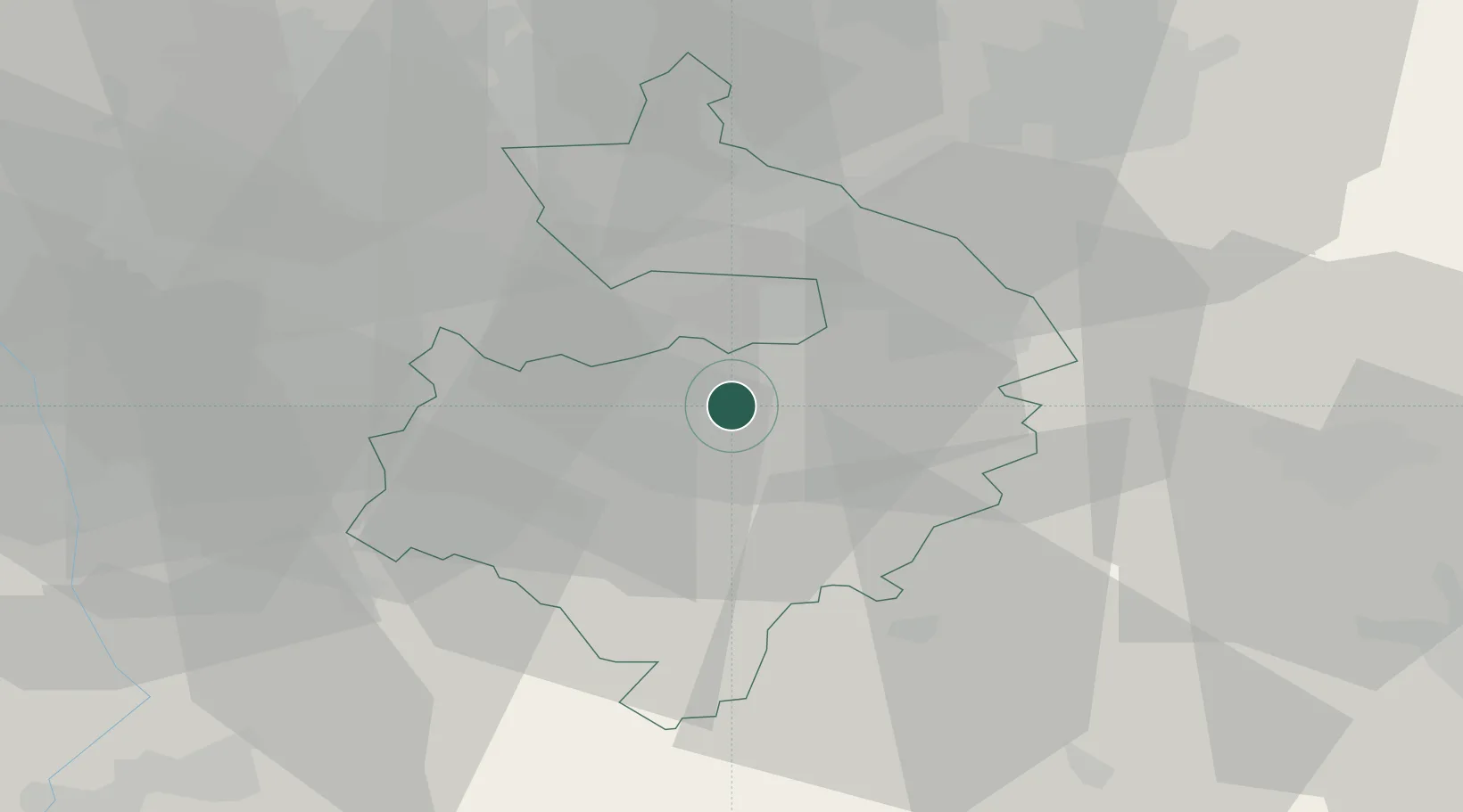
Location
Nearby Logistics Neighbours
Cities
- 1Freeland11 km
- 2Charlecote13 km
- 3Coventry13 km
- 4Wallesbourne Hastings13 km
- 5Barston14 km
Airports
- 1Coventry Airport9 km
- 2Birmingham Airport23 km
- 3London Oxford Airport54 km
- 4East Midlands Airport61 km
- 5RAF Brize Norton61 km
Trade Zones
DatabookThe Record of Consolidated Knowledge
United Kingdom beyond logistics?