UN/LOCODE hub · United Kingdom
GBDUC
Dunchurch
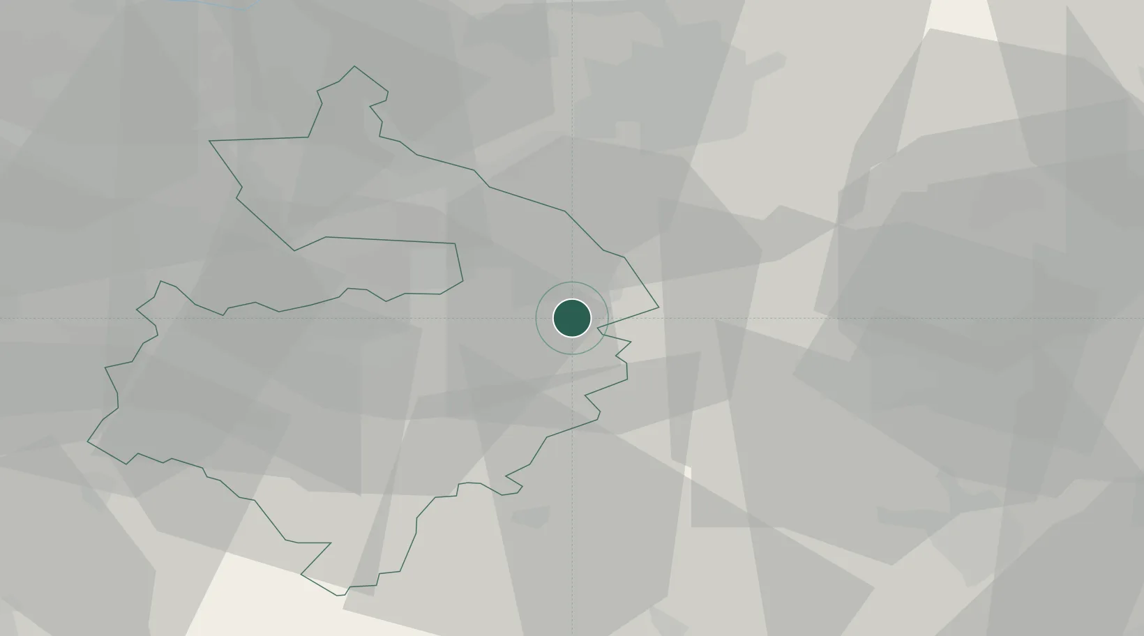
52.3333°, -1.2833°
2,405
Population
2
Transport functions
Transport Functions
Port
Road
Hub Profile
Place type
Populated place
Region
England
Population
2,405
Time zone
Europe/London
Elevation
122 m
Location
Nearby Logistics Neighbours
Cities
- 1Church Lawford4 km
- 2Napton on the Hill10 km
- 3Watford12 km
- 4Walsgrave on Sowe14 km
- 5Leamington17 km
Ports
- 1Wisbech104 km
- 2Sharpness107 km
- 3Boston111 km
- 4King's Lynn123 km
- 5London124 km
Airports
- 1Coventry Airport14 km
- 2Birmingham Airport34 km
- 3Cranfield Airport54 km
- 4London Oxford Airport55 km
- 5East Midlands Airport55 km
Trade Zones
DatabookThe Record of Consolidated Knowledge
United Kingdom beyond logistics?