Transport Functions
Road
Multimodal
Hub Profile
Place type
Populated place
Region
England
Time zone
Europe/London
Elevation
111 m
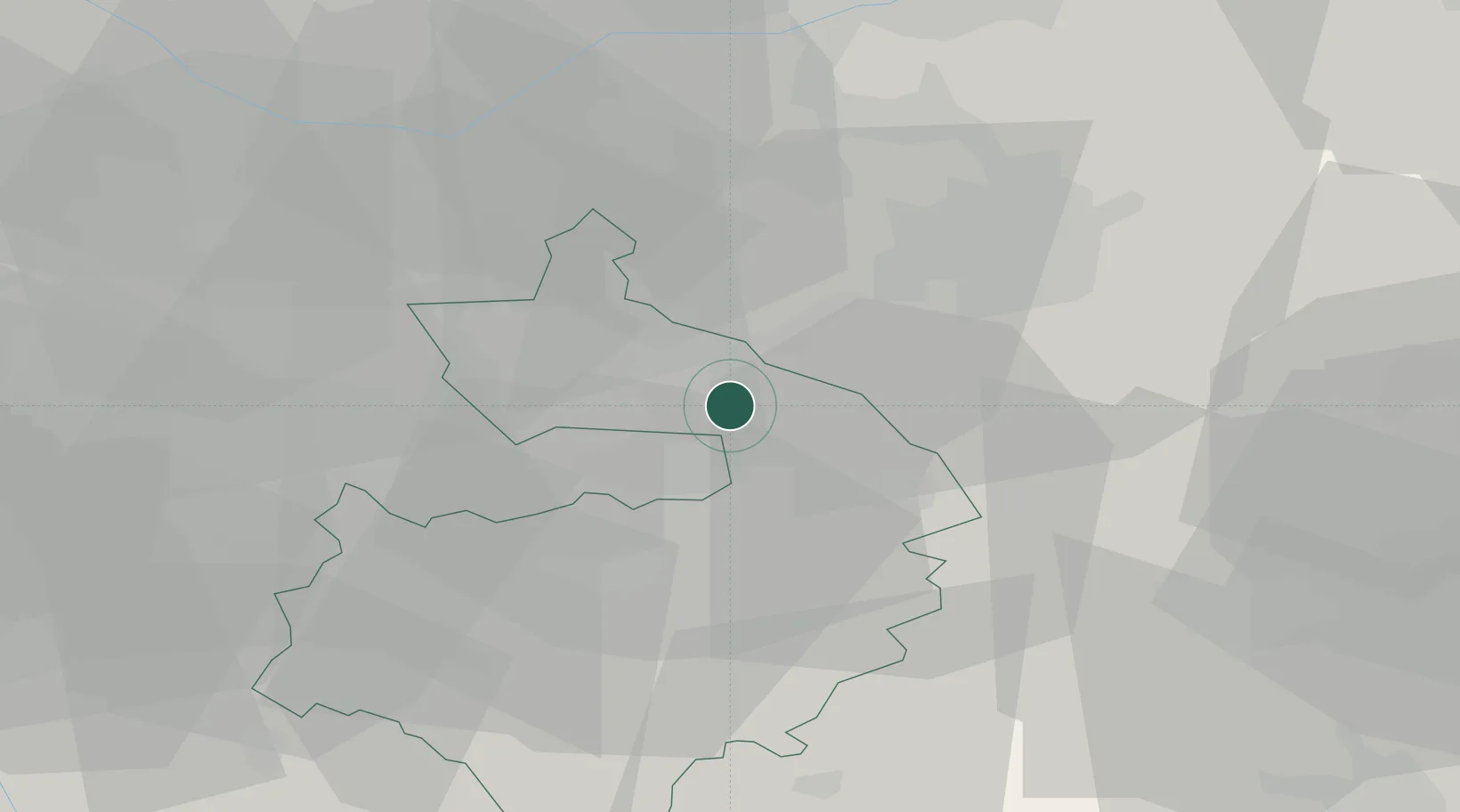
Location
Nearby Logistics Neighbours
Cities
- 1Walsgrave on Sowe6 km
- 2Coventry10 km
- 3Llantarnam11 km
- 4Mancetter13 km
- 5Stoney Stanton14 km
Ports
- 1Wisbech109 km
- 2Sharpness110 km
- 3Boston110 km
- 4Manchester126 km
- 5King's Lynn128 km
Airports
- 1Coventry Airport11 km
- 2Birmingham Airport21 km
- 3East Midlands Airport41 km
- 4Nottingham City Airport56 km
- 5RAF Cosford62 km
Trade Zones
DatabookThe Record of Consolidated Knowledge
United Kingdom beyond logistics?