Transport Functions
Rail
Road
Multimodal
Hub Profile
Region
STS
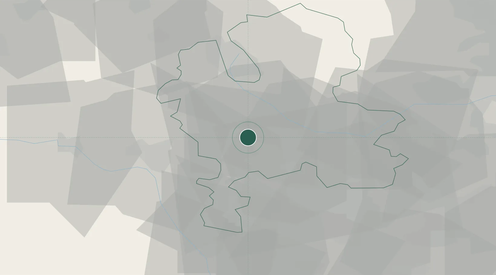
Location
Nearby Logistics Neighbours
Cities
- 1Penkridge2 km
- 2Great Haywood11 km
- 3Belgrave11 km
- 4Norton Canes15 km
- 5Shifnal18 km
Ports
- 1Manchester82 km
- 2Garlston84 km
- 3Liverpool94 km
- 4Mostyn99 km
- 5Sharpness117 km
Airports
- 1RAF Cosford17 km
- 2RAF Shawbury36 km
- 3Birmingham Airport42 km
- 4East Midlands Airport55 km
- 5Coventry Airport61 km
Trade Zones
DatabookThe Record of Consolidated Knowledge
United Kingdom beyond logistics?