UN/LOCODE hub · United Kingdom
GBNCN
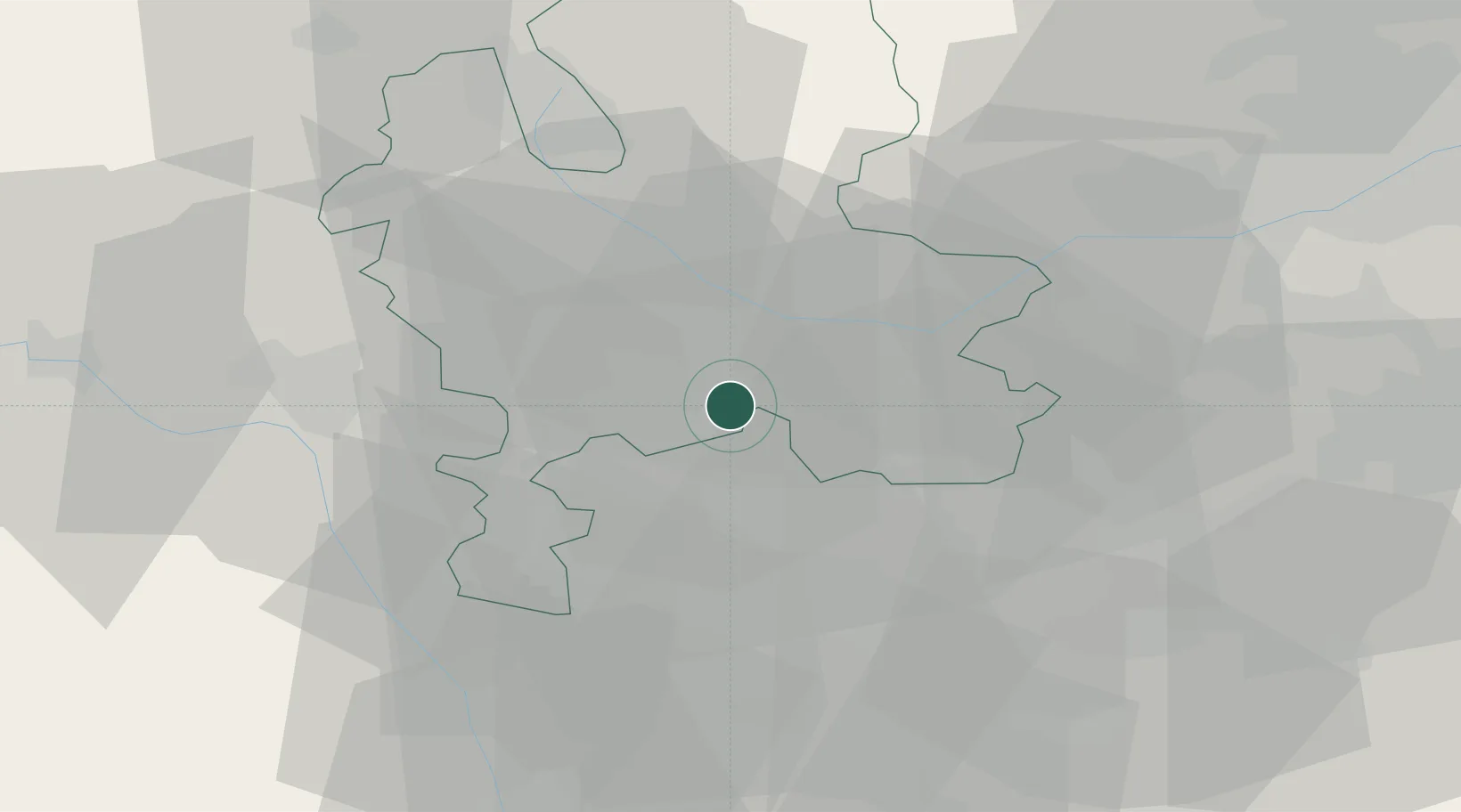
Norton Canes
52.6667°, -1.9667°
7,479
Population
2
Transport functions
Transport Functions
Port
Road
Hub Profile
Place type
Populated place
Region
England
Population
7,479
Time zone
Europe/London
Elevation
151 m
Location
Nearby Logistics Neighbours
Cities
- 1Penkridge13 km
- 2Birmingham14 km
- 3Belgrave14 km
- 4Dunston Heath15 km
- 5Great Haywood15 km
Ports
- 1Manchester93 km
- 2Garlston98 km
- 3Liverpool108 km
- 4Sharpness111 km
- 5Mostyn113 km
Airports
- 1RAF Cosford23 km
- 2Birmingham Airport28 km
- 3Coventry Airport47 km
- 4East Midlands Airport47 km
- 5RAF Shawbury49 km
Trade Zones
DatabookThe Record of Consolidated Knowledge
United Kingdom beyond logistics?