UN/LOCODE hub · United Kingdom
GBGHW
Great Haywood
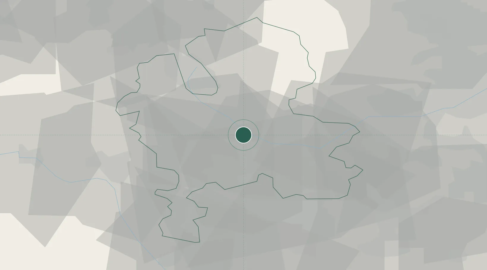
52.8000°, -2.0000°
1,844
Population
2
Transport functions
Transport Functions
Rail
Road
Hub Profile
Place type
Populated place
Region
England
Population
1,844
Time zone
Europe/London
Elevation
80 m
Location
Nearby Logistics Neighbours
Cities
- 1Dunston Heath11 km
- 2Penkridge11 km
- 3Norton Canes15 km
- 4Uttoxeter15 km
- 5Belgrave20 km
Ports
- 1Manchester78 km
- 2Garlston86 km
- 3Liverpool96 km
- 4Mostyn102 km
- 5Sharpness125 km
Airports
- 1RAF Cosford27 km
- 2Birmingham Airport42 km
- 3RAF Shawbury45 km
- 4East Midlands Airport45 km
- 5Coventry Airport59 km
Trade Zones
DatabookThe Record of Consolidated Knowledge
United Kingdom beyond logistics?