UN/LOCODE hub · United Kingdom
GBION

Baile Mor, Iona

56.3333°, -6.4000°
2
Transport functions

Transport Functions

Port
Road
UN/LOCODE

Hub Profile

Region
AGB
GeoNames

Location

Location of GBION
Natural Earth 10m (public domain) · AGB · GBION · 56.33, -6.40GoogleOSMYandex

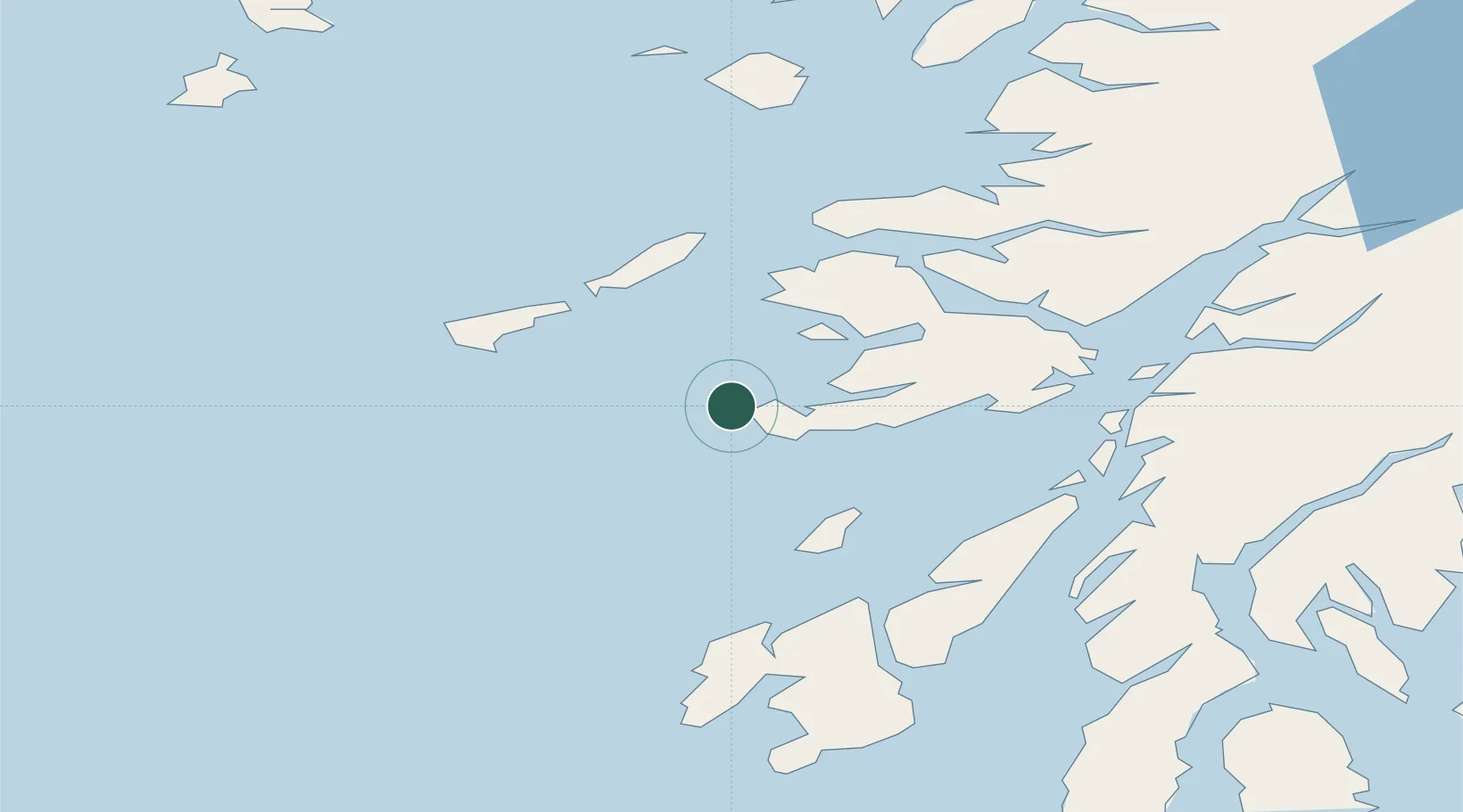
Nearby Logistics Neighbours

Cities
  1. 1Fionnphort, Isle of Mull3 km
  2. 2Bunessan10 km
  3. 3Loch Scridain (Isle Mull)13 km
  4. 4Ulva Ferry23 km
  5. 5Loch Buie (Mull)31 km
Nearest neighbours — logibook spatial index (haversine) over the source coordinates
Ports
  1. 1Tobermory38 km
  2. 2Craignure46 km
  3. 3Lochaline46 km
  4. 4Oban58 km
  5. 5Crinan (Canal)59 km
Nearest neighbours — logibook spatial index (haversine) over the source coordinates
Airports
  1. 1Colonsay Airstrip32 km
  2. 2Coll Airport33 km
  3. 3Tiree Airport34 km
  4. 4Oban Airport63 km
  5. 5Islay Airport73 km
Nearest neighbours — logibook spatial index (haversine) over the source coordinates
Trade Zones
  1. 1Prestwick Airport Free Zone144 km
  2. 2Carlisle Kingmoor Park Enterprise Zone266 km
  3. 3Isle of Man Free Zone and Business Park274 km
  4. 4Dublin International Financial Services Centre332 km
  5. 5Blackpool Enterprise Zone356 km
Nearest neighbours — logibook spatial index (haversine) over the source coordinates
DatabookThe Record of Consolidated Knowledge
United Kingdom beyond logistics?
Browse databook

All Sources

LocationsUN/LOCODE
UN/LOCODE — free
Portsthe NGA World Port Index
Public domain (US gov)
AirportsOurAirports
Public domain
Trade Zonesthe World Bank SEZ database
CC BY 4.0
Trade ZonesOpen Zone Map
CC BY
← United Kingdom locations