UN/LOCODE hub · United Kingdom
GBFIO

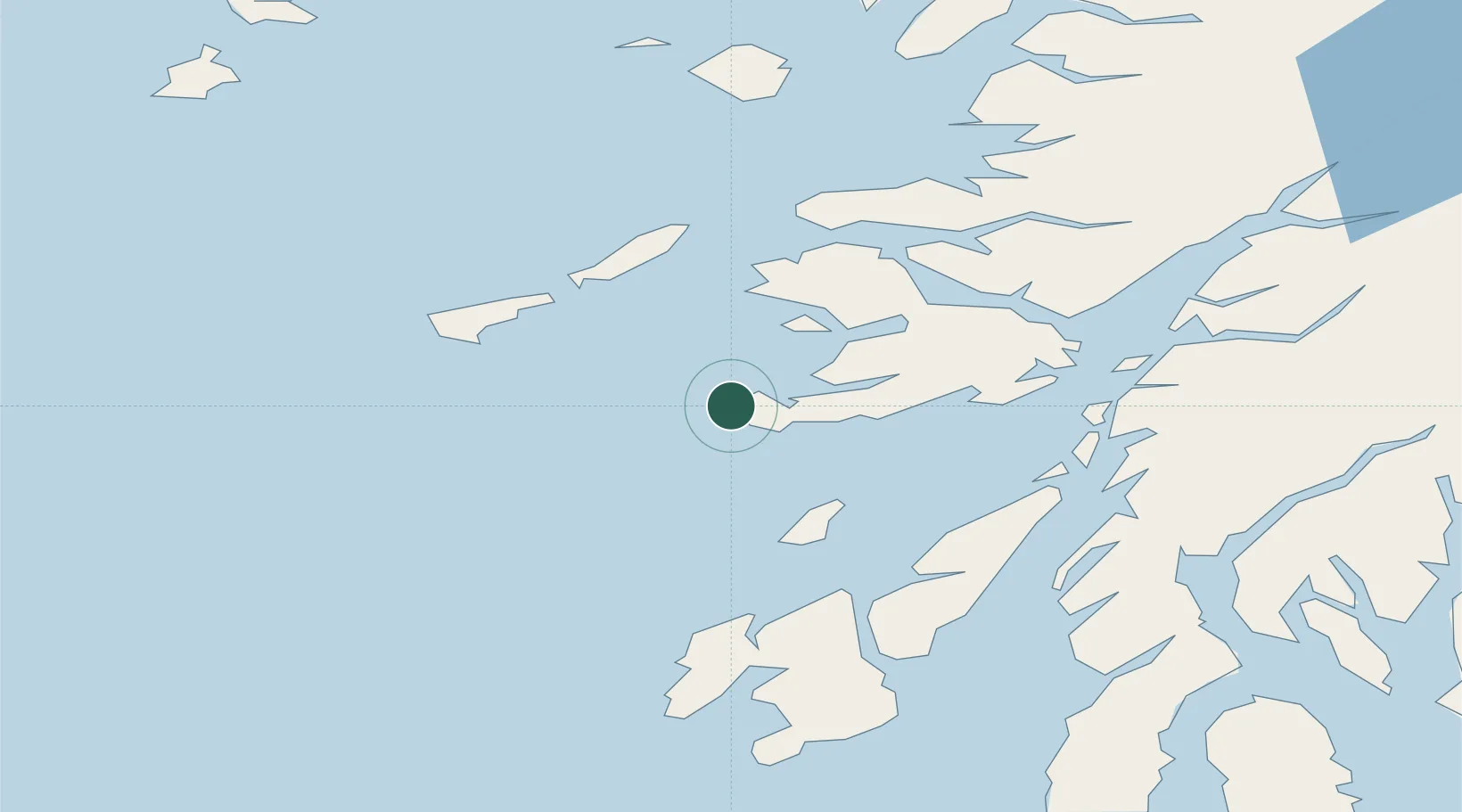
Fionnphort, Isle of Mull

56.3167°, -6.3667°
2
Transport functions

Transport Functions

Port
Road
UN/LOCODE

Hub Profile

Region
AGB
GeoNames

Location

Location of GBFIO
Natural Earth 10m (public domain) · AGB · GBFIO · 56.32, -6.37GoogleOSMYandex

Nearby Logistics Neighbours

Cities
  1. 1Baile Mor, Iona3 km
  2. 2Bunessan8 km
  3. 3Loch Scridain (Isle Mull)12 km
  4. 4Ulva Ferry23 km
  5. 5Loch Buie (Mull)29 km
Nearest neighbours — logibook spatial index (haversine) over the source coordinates
Ports
  1. 1Tobermory38 km
  2. 2Craignure44 km
  3. 3Lochaline45 km
  4. 4Crinan (Canal)56 km
  5. 5Oban57 km
Nearest neighbours — logibook spatial index (haversine) over the source coordinates
Airports
  1. 1Colonsay Airstrip30 km
  2. 2Coll Airport35 km
  3. 3Tiree Airport37 km
  4. 4Oban Airport62 km
  5. 5Islay Airport71 km
Nearest neighbours — logibook spatial index (haversine) over the source coordinates
Trade Zones
  1. 1Prestwick Airport Free Zone142 km
  2. 2Carlisle Kingmoor Park Enterprise Zone263 km
  3. 3Isle of Man Free Zone and Business Park271 km
  4. 4Dublin International Financial Services Centre330 km
  5. 5Blackpool Enterprise Zone354 km
Nearest neighbours — logibook spatial index (haversine) over the source coordinates
DatabookThe Record of Consolidated Knowledge
United Kingdom beyond logistics?
Browse databook

All Sources

LocationsUN/LOCODE
UN/LOCODE — free
Portsthe NGA World Port Index
Public domain (US gov)
AirportsOurAirports
Public domain
Trade Zonesthe World Bank SEZ database
CC BY 4.0
Trade ZonesOpen Zone Map
CC BY
← United Kingdom locations