UN/LOCODE hub · United Kingdom
GBSDK
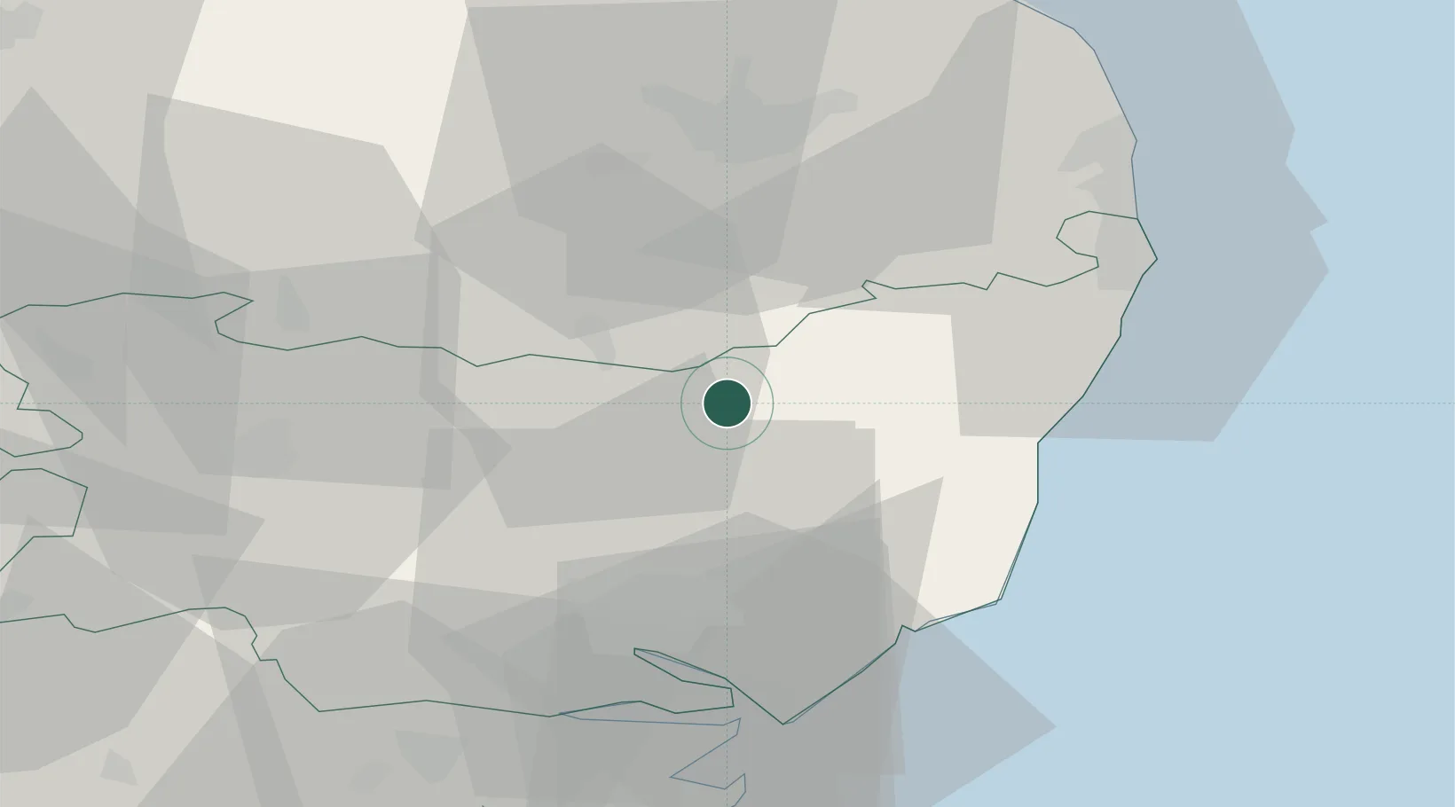
Stradbroke
52.3167°, 1.2667°
1,089
Population
2
Transport functions
Transport Functions
Road
Multimodal
Hub Profile
Place type
Populated place
Region
England
Population
1,089
Time zone
Europe/London
Elevation
56 m
Location
Nearby Logistics Neighbours
Cities
- 1Cookley13 km
- 2Wetheringsett13 km
- 3Thorrington18 km
- 4Darsham19 km
- 5Marlesford19 km
Ports
- 1Ipswich30 km
- 2Lowestoft38 km
- 3Harwich41 km
- 4Felixstowe41 km
- 5Great Yarmouth46 km
Airports
- 1Wattisham Airfield30 km
- 2RAF Honington34 km
- 3Norwich Airport40 km
- 4RAF Lakenheath49 km
- 5RAF Mildenhall53 km
Trade Zones
DatabookThe Record of Consolidated Knowledge
United Kingdom beyond logistics?