UN/LOCODE hub · United Kingdom
GBRWS
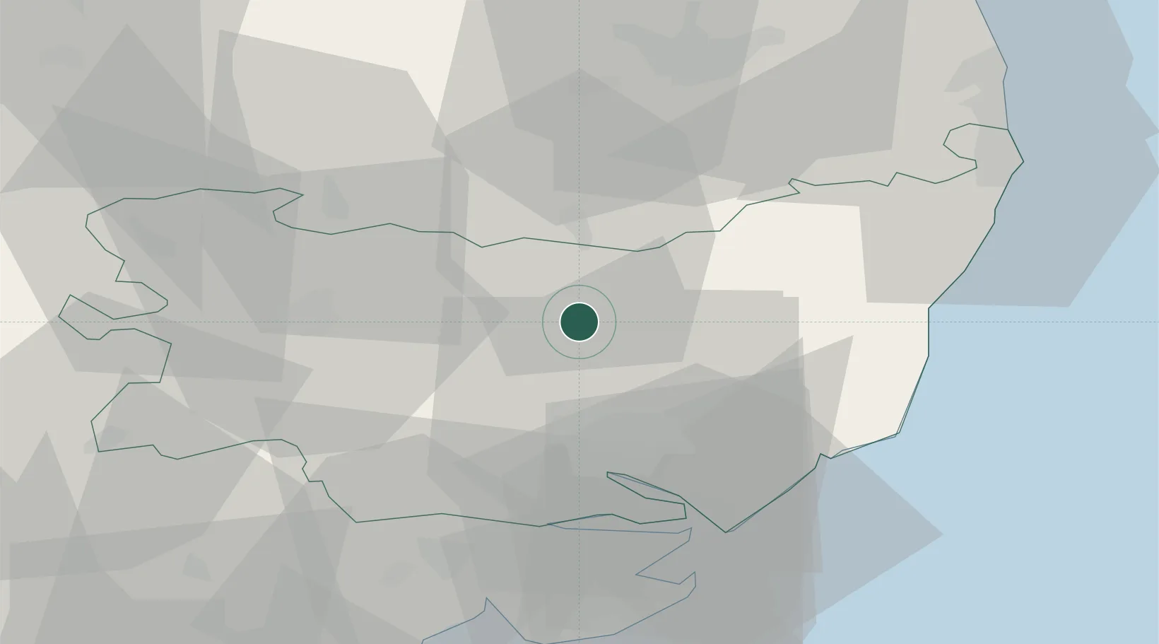
Wetheringsett
52.2500°, 1.1167°
334
Population
2
Transport functions
Transport Functions
Port
Multimodal
Hub Profile
Place type
Populated place
Region
England
Population
334
Time zone
Europe/London
Elevation
51 m
Location
Nearby Logistics Neighbours
Cities
- 1Ashbocking12 km
- 2Needham Market12 km
- 3Stradbroke13 km
- 4Elmswell15 km
- 5Thorrington19 km
Ports
- 1Ipswich23 km
- 2Harwich35 km
- 3Felixstowe36 km
- 4Colchester43 km
- 5Lowestoft50 km
Airports
- 1Wattisham Airfield18 km
- 2RAF Honington26 km
- 3RAF Lakenheath42 km
- 4RAF Mildenhall45 km
- 5Norwich Airport49 km
Trade Zones
DatabookThe Record of Consolidated Knowledge
United Kingdom beyond logistics?