Transport Functions
Port
Multimodal
Hub Profile
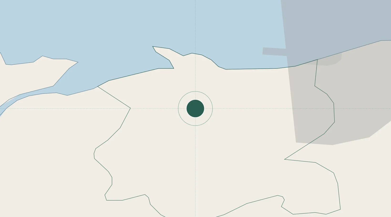
Place type
Populated place
Region
Wales
Time zone
Europe/London
Elevation
64 m
Location
Nearby Logistics Neighbours
Cities
- 1Dolgarrog4 km
- 2Conwy (Conway)10 km
- 3Rhôs-on-Sea11 km
- 4Colwyn Bay (Bae Colwyn)12 km
- 5Llanddulas14 km
Ports
- 1Caernarvon33 km
- 2Mostyn37 km
- 3Liverpool Bay Terminal40 km
- 4Liverpool57 km
- 5Holyhead58 km
Airports
- 1Anglesey Airport50 km
- 2Hawarden Airport54 km
- 3Liverpool John Lennon Airport64 km
- 4Blackpool Airport81 km
- 5Warton Aerodrome85 km
Trade Zones
DatabookThe Record of Consolidated Knowledge
United Kingdom beyond logistics?