Transport Functions
Port
Rail
Road
Hub Profile
Place type
Populated place
Region
Wales
Time zone
Europe/London
Elevation
25 m
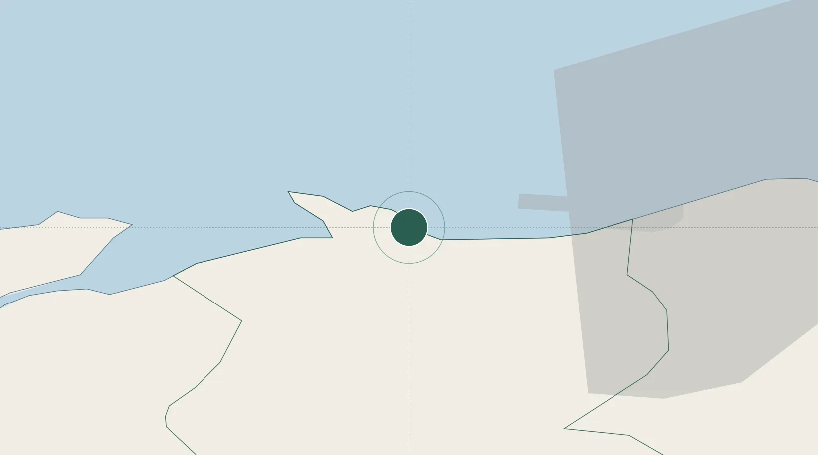
Location
Nearby Logistics Neighbours
Cities
- 1Colwyn Bay (Bae Colwyn)1 km
- 2Conwy (Conway)6 km
- 3Llanddulas8 km
- 4Abergele11 km
- 5Talbot Green11 km
Ports
- 1Liverpool Bay Terminal29 km
- 2Mostyn32 km
- 3Caernarvon38 km
- 4Liverpool51 km
- 5Garlston57 km
Airports
- 1Anglesey Airport53 km
- 2Hawarden Airport53 km
- 3Liverpool John Lennon Airport60 km
- 4Blackpool Airport71 km
- 5Warton Aerodrome76 km
Trade Zones
DatabookThe Record of Consolidated Knowledge
United Kingdom beyond logistics?