Transport Functions
Port
Rail
Road
Hub Profile
Region
CWY
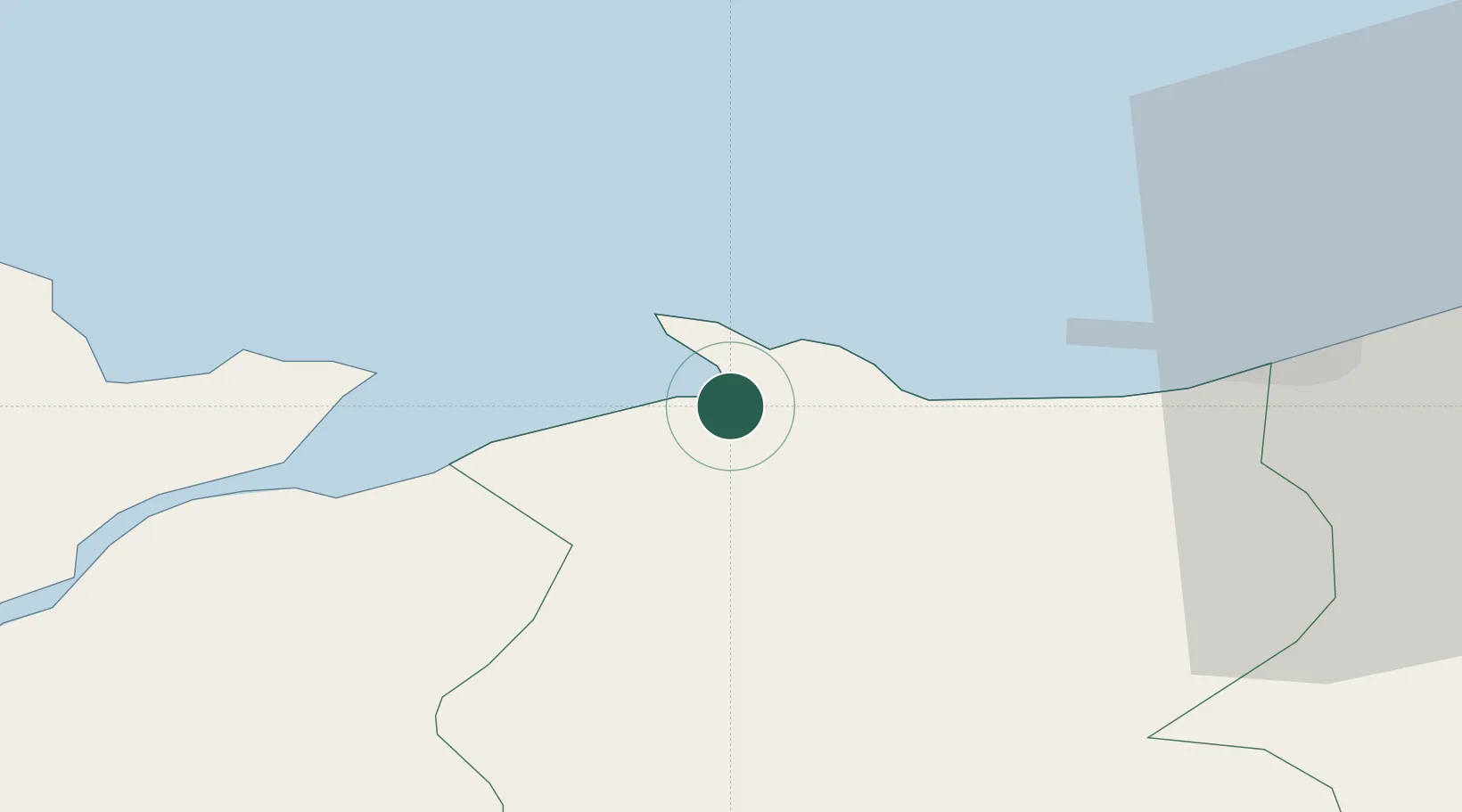
Location
Nearby Logistics Neighbours
Cities
- 1Rhôs-on-Sea6 km
- 2Colwyn Bay (Bae Colwyn)7 km
- 3Talbot Green10 km
- 4Dolgarrog11 km
- 5Llanddulas13 km
Ports
- 1Caernarvon32 km
- 2Liverpool Bay Terminal34 km
- 3Mostyn38 km
- 4Holyhead53 km
- 5Liverpool57 km
Airports
- 1Anglesey Airport47 km
- 2Hawarden Airport58 km
- 3Liverpool John Lennon Airport66 km
- 4Blackpool Airport76 km
- 5Warton Aerodrome81 km
Trade Zones
DatabookThe Record of Consolidated Knowledge
United Kingdom beyond logistics?