Transport Functions
Port
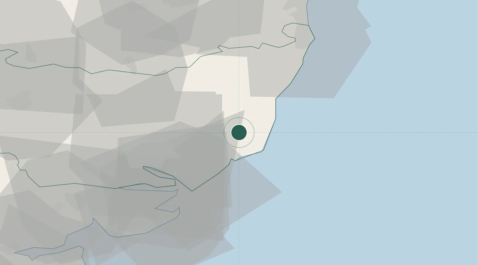
Location
Nearby Logistics Neighbours
Cities
- 1Orford6 km
- 2Aldeburgh7 km
- 3Marlesford7 km
- 4Rendlesham8 km
- 5Thorpeness8 km
Ports
- 1Ipswich25 km
- 2Felixstowe26 km
- 3Harwich27 km
- 4Lowestoft41 km
- 5Colchester50 km
Airports
- 1Wattisham Airfield37 km
- 2RAF Honington54 km
- 3Norwich Airport60 km
- 4RAF Lakenheath70 km
- 5RAF Mildenhall73 km
Trade Zones
DatabookThe Record of Consolidated Knowledge
United Kingdom beyond logistics?