Transport Functions
Rail
Road
Multimodal
Hub Profile
Place type
Populated place
Region
England
Time zone
Europe/London
Elevation
13 m
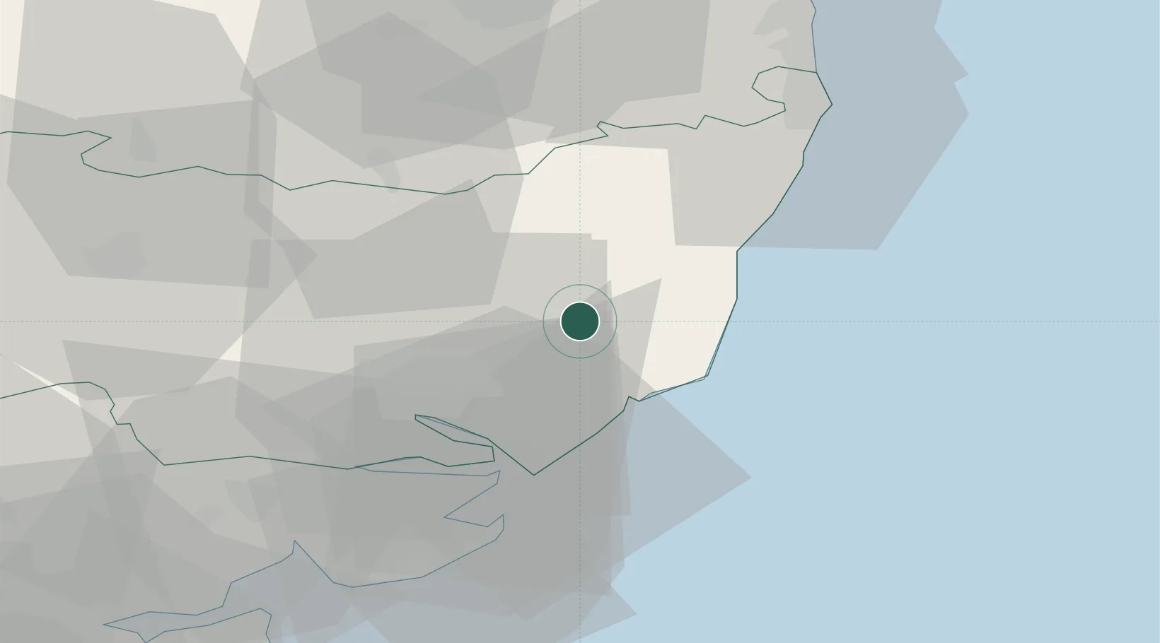
Location
Nearby Logistics Neighbours
Cities
- 1Rendlesham6 km
- 2Snape Bridge7 km
- 3Orford12 km
- 4Aldeburgh14 km
- 5Darsham14 km
Ports
- 1Ipswich21 km
- 2Felixstowe25 km
- 3Harwich25 km
- 4Lowestoft43 km
- 5Colchester46 km
Airports
- 1Wattisham Airfield31 km
- 2RAF Honington47 km
- 3Norwich Airport57 km
- 4RAF Lakenheath63 km
- 5RAF Mildenhall66 km
Trade Zones
DatabookThe Record of Consolidated Knowledge
United Kingdom beyond logistics?