UN/LOCODE hub · United Kingdom
GBRHM
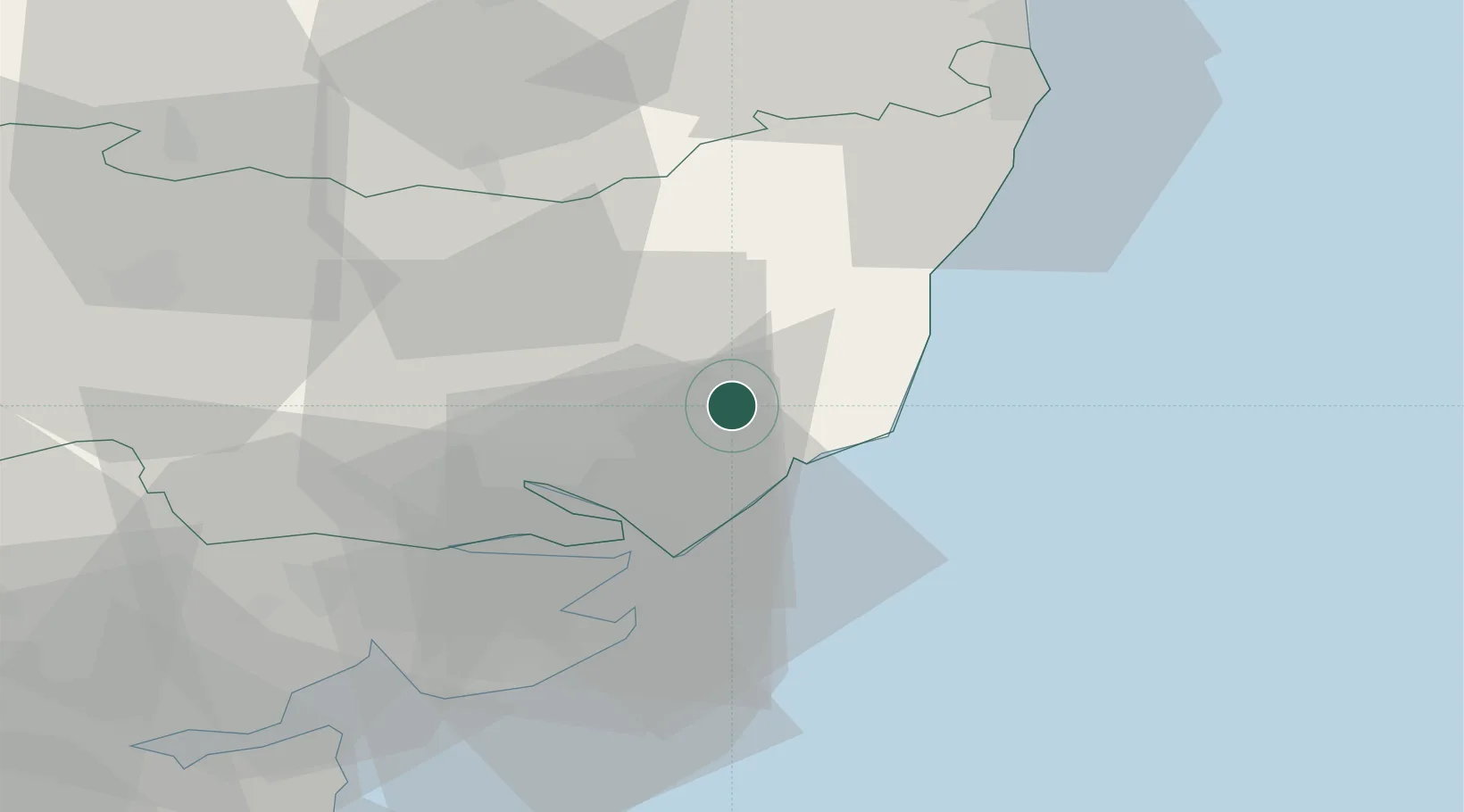
Rendlesham
52.1167°, 1.4000°
3,013
Population
2
Transport functions
Transport Functions
Road
Multimodal
Hub Profile
Place type
Populated place
Region
England
Population
3,013
Time zone
Europe/London
Elevation
24 m
Location
Nearby Logistics Neighbours
Cities
- 1Marlesford6 km
- 2Snape Bridge8 km
- 3Orford9 km
- 4Kesgrave13 km
- 5Aldeburgh14 km
Ports
- 1Ipswich18 km
- 2Felixstowe19 km
- 3Harwich20 km
- 4Colchester42 km
- 5Lowestoft47 km
Airports
- 1Wattisham Airfield30 km
- 2RAF Honington50 km
- 3Norwich Airport63 km
- 4RAF Lakenheath66 km
- 5RAF Mildenhall68 km
Trade Zones
DatabookThe Record of Consolidated Knowledge
United Kingdom beyond logistics?