Transport Functions
Port
Multimodal
Hub Profile
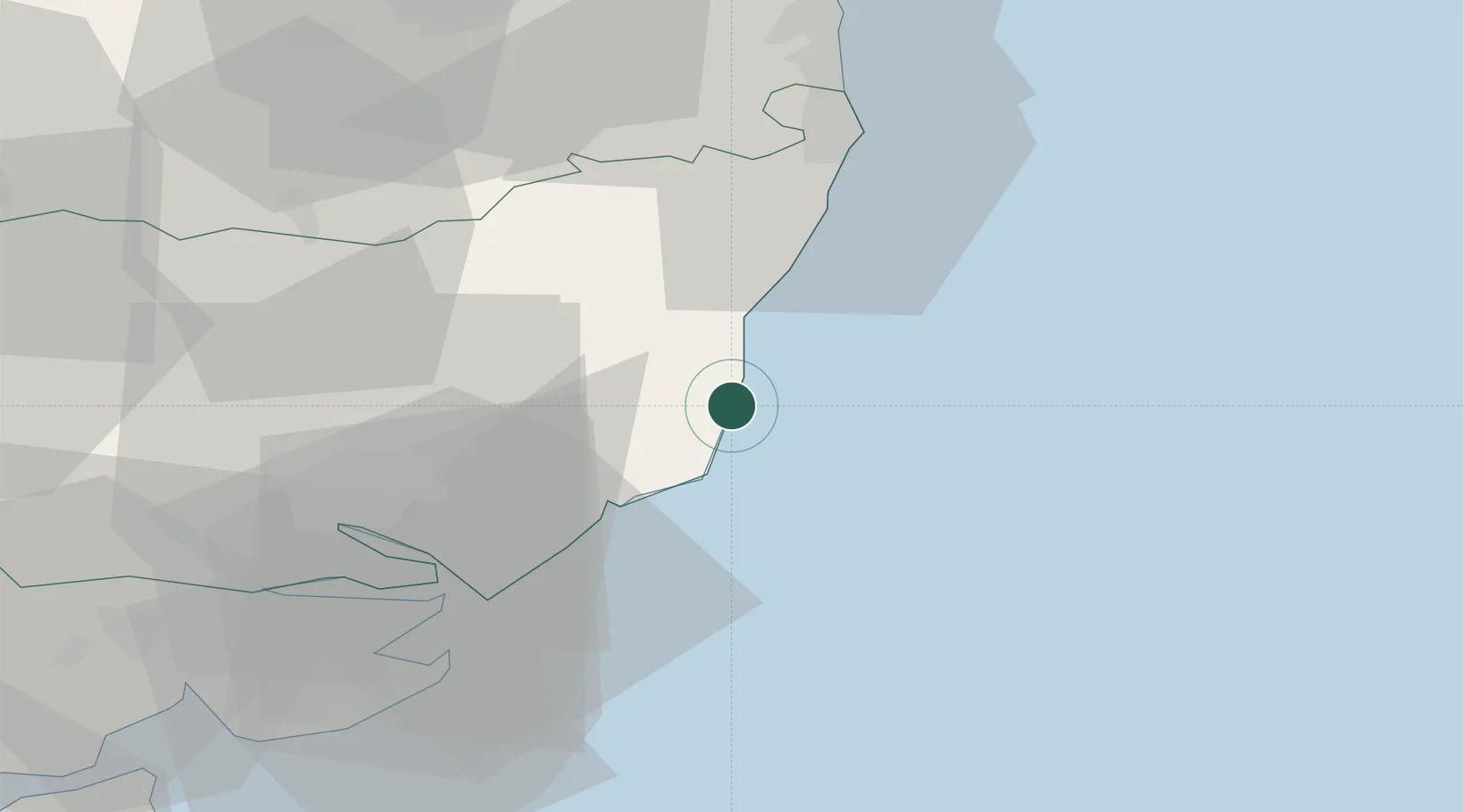
Place type
Populated place
Region
England
Population
231
Time zone
Europe/London
Elevation
4 m
Location
Nearby Logistics Neighbours
Cities
- 1Aldeburgh2 km
- 2Sizewell Beach4 km
- 3Snape Bridge8 km
- 4Orford9 km
- 5Dunwich11 km
Ports
- 1Felixstowe32 km
- 2Harwich33 km
- 3Ipswich33 km
- 4Lowestoft36 km
- 5Great Yarmouth51 km
Airports
- 1Wattisham Airfield45 km
- 2RAF Honington61 km
- 3Norwich Airport61 km
- 4RAF Lakenheath77 km
- 5RAF Mildenhall80 km
Trade Zones
DatabookThe Record of Consolidated Knowledge
United Kingdom beyond logistics?