Transport Functions
Port
Road
Hub Profile
Place type
Populated place
Region
England
Population
713
Time zone
Europe/London
Elevation
14 m
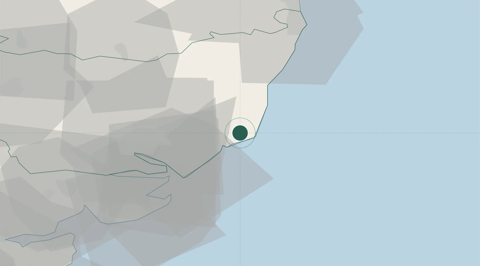
Location
Nearby Logistics Neighbours
Cities
- 1Snape Bridge6 km
- 2Aldeburgh7 km
- 3Rendlesham9 km
- 4Thorpeness9 km
- 5Marlesford12 km
Ports
- 1Felixstowe22 km
- 2Harwich24 km
- 3Ipswich26 km
- 4Lowestoft45 km
- 5Colchester49 km
Airports
- 1Wattisham Airfield40 km
- 2RAF Honington58 km
- 3Norwich Airport66 km
- 4RAF Lakenheath75 km
- 5RAF Mildenhall77 km
Trade Zones
DatabookThe Record of Consolidated Knowledge
United Kingdom beyond logistics?