UN/LOCODE hub · United Kingdom
GBALB
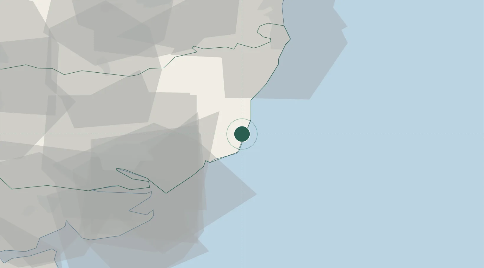
Aldeburgh
52.1500°, 1.6000°
2,341
Population
1
Transport functions
Transport Functions
Port
Hub Profile
Place type
Populated place
Region
England
Population
2,341
Time zone
Europe/London
Elevation
7 m
Location
Nearby Logistics Neighbours
Cities
- 1Thorpeness2 km
- 2Sizewell Beach6 km
- 3Snape Bridge7 km
- 4Orford7 km
- 5Dunwich13 km
Ports
- 1Felixstowe30 km
- 2Harwich31 km
- 3Ipswich32 km
- 4Lowestoft38 km
- 5Great Yarmouth53 km
Airports
- 1Wattisham Airfield44 km
- 2RAF Honington60 km
- 3Norwich Airport62 km
- 4RAF Lakenheath76 km
- 5RAF Mildenhall79 km
Trade Zones
DatabookThe Record of Consolidated Knowledge
United Kingdom beyond logistics?