UN/LOCODE hub · United Kingdom
GBSFY
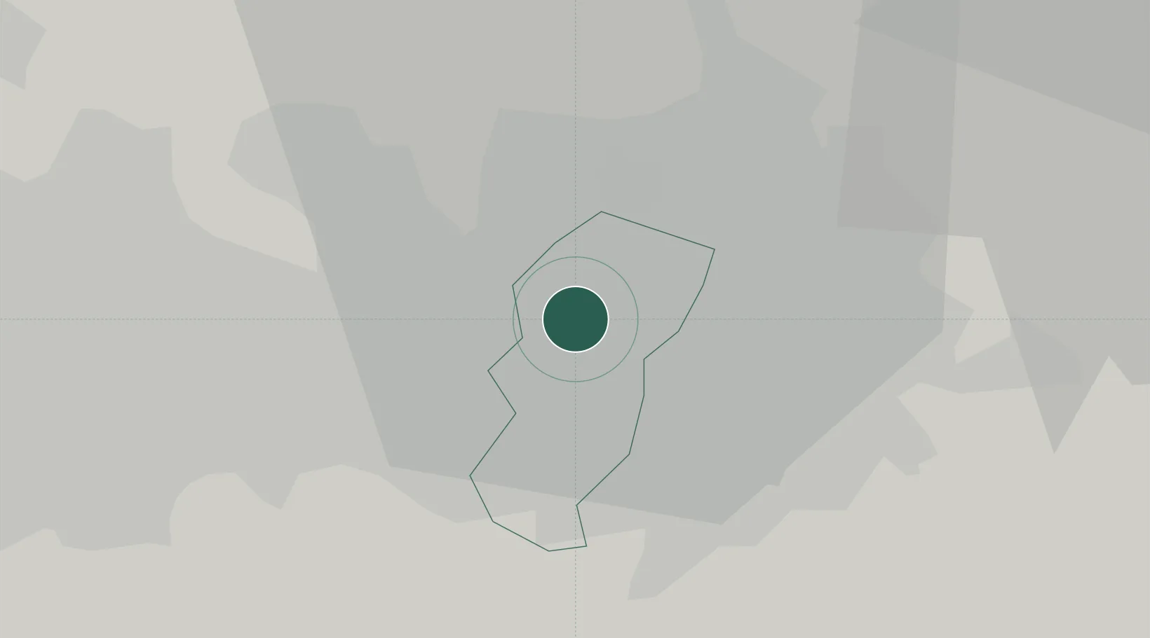
Salford
53.4833°, -2.2667°
129,794
Population
1
Transport functions
Transport Functions
Port
Hub Profile
Place type
Provincial seat
Region
England
Population
129,794
Time zone
Europe/London
Elevation
44 m
Location
Nearby Logistics Neighbours
Cities
- 1Manchester Ship Canal, Salford3 km
- 2Manchester4 km
- 3Eccles4 km
- 4Manchester Container Terminal5 km
- 5Trafford Park5 km
Ports
- 1Manchester0 km
- 2Garlston45 km
- 3Liverpool49 km
- 4Mostyn69 km
- 5Fleetwood69 km
Airports
- 1Manchester Airport15 km
- 2Liverpool John Lennon Airport42 km
- 3Warton Aerodrome50 km
- 4Hawarden Airport58 km
- 5Leeds Bradford Airport58 km
Trade Zones
DatabookThe Record of Consolidated Knowledge
United Kingdom beyond logistics?